
SLIDE 1
1
GTA West Transportation Corridor Planning and EA Study Stage 2 - - PowerPoint PPT Presentation
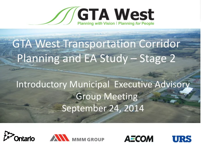
GTA West Transportation Corridor Planning and EA Study Stage 2 Introductory Municipal Executive Advisory Group Meeting September 24, 2014 1 Todays Agenda Mandate and Objectives of the Municipal Executive Advisory Group Overview
1
2
3
benefits for the local communities and the users of the transportation system that minimizes impacts To accomplish this, we are committed to engaging our municipal and agency partners in open two-way communication that leads to meaningful discussions, proactive information exchange and a constructive working relationship
4
Metrolinx and each of the Regional Municipalities of Halton, Peel, and York
– Generation of Route Planning Alternatives (Today) – Identification of the Preferred Alternative (Fall/Winter 2015) – Preliminary Design (Winter/Spring 2017)
– Current and anticipated policy and planning issues in the municipalities – Municipal interests – How findings will be received by stakeholders – How findings will be received by municipal councils – Coordination of provincial and municipal transit service plans – Others?
5
Stage 1 of the GTA West Transportation Corridor Planning and EA Study was completed in November 2012: Multi-Modal Strategy
Stage 2 focuses on the recommendation for a new transportation corridor:
area in the west
priority features
crossing roads, and EA approval
6
7
Based on forecasts derived from the Places to Grow Act and the Growth Plan for the Greater Golden Horseshoe, the coming growth in population and employment in the Greater Golden Horseshoe will drive the need for additional transportation infrastructure:
the next 20 years
2031
times are expected to increase by about one third (27 minutes per day) by 2031
8
growth identified in the Growth Plan for the Greater Golden Horseshoe
transportation network for commuters and commercial goods movement
Caledon, Vaughan, Halton Hills and Milton
existing and future local and regional public transit operations
minimizing disruption to important natural and agricultural areas
9
Study Area, it must be recognized that:
– The planning for the future GTA West Corridor ultimately falls under the jurisdiction of MTO – Accommodating future municipal planning visions is one of several important considerations – The preferred GTA West corridor may not coincide with outcomes of municipal planning studies
to the GTA West Project Team or the GTA West website (www.gta-west.com) for the most up-to-date information
10
possible with this study
list presented at PIC 1 later this year
study, but MTO objections to development applications in some areas will be lifted progressively at key milestones:
– Identification and confirmation of the short list of route alternatives (following PIC 1) – Identification and confirmation of the preferred route (following PIC 2) – Completion of the preliminary design of the preferred route (following PIC 3)
the EA documentation, will be released only once EA approval is
Development Construction within the Study Area
11
The long list of route alternatives were developed using the following data sets:
– Design speed, minimum curve radius, right-of-way width, typical cross section, etc.
– Earthworks – Structures – Roads
– Wetlands, woodlands, built heritage features, cemeteries, existing residential areas, planned land uses, etc.
– Four community workshops in July and August – Consultation with stakeholders, including municipal and regulatory agencies
12
contact:
– Public Information Centres (3 rounds) – Community workshops (4 rounds) – First Nation and Métis Council/Community Meetings (3 rounds) – Stakeholder advisory groups, working groups, and Council presentations – Project website: www.gta-west.com – Project Team e-mail address: project_team@gta- west.com – Twitter feed: @GTAWestStudy – Toll-free telephone line: 1-877-522-6916
13
(Mississauga), August 13 (Brampton), and August 14, 2014 (Caledon)
– Requests to make a decision as soon as possible and alleviate landowner uncertainty – Inquiries about study schedule and when the preferred route will be presented – Routes should stay parallel to existing transportation infrastructure to minimize disruption – Suggestions to bypass specific areas – Minimize the number of interchanges – Interchange location suggestions – Protect agricultural lands – Inquiries about timing of construction – General inquiries about how routes are being generated and evaluated
14
development applications