
SLIDE 1
Groundwater Gunnedah Basin NSW What water information can tell us - - PowerPoint PPT Presentation
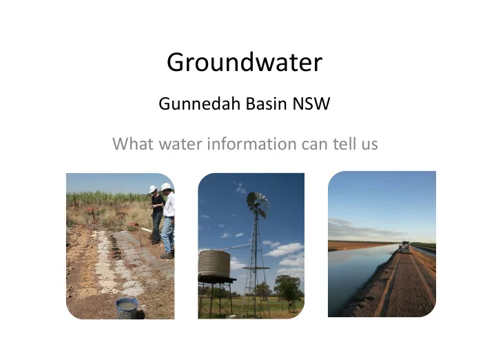
Groundwater Gunnedah Basin NSW What water information can tell us Sedimentary basins in NSW that contain coal NSW cross sections Section through both the Gunnedah and Clarence Moreton Basins Cross Section B Distribution of groundwater extraction
Cross Section B
Total rights ~ 340 GL
Upper and Lower Namoi Alluvial Water Sources (~215 GL/yr) NSW MDB Porous Rock Groundwater Source (Gunnedah Oxley Basin) (~22 GL/yr) Lower Gwydir Alluvial Water Source (~28 GL/yr) Other alluvial (total) (~4 GL/yr) Macquarie and Bogan Alluvial Groundwater Sources (~22 GL/yr) Great Artesian Basin (total) (~35 GL/yr) NSW MDB Fractured Rock Water Sources (basalt) (~3 GL/yr)
Cross Section 1 Cross Section 2
~3,500 stock and domestic ~150 high yield ~4,500 stock and domestic ~1,500 high yield ~3,500 stock and domestic ~200 high yield Approximately 850 gas wells proposed
Total rights 340 GL Cross Section 1
Cross Section 2
500 1,000 1,500 2,000 2,500 3,000 Groundwater Surface water Water available (GL/yr) Environmental Unassigned water Current rights
100 200 300 400 500 600 700 800 900 1,000
Alluvial Great Artesian Basin Gunnedah Basin Fractured Basalts Namoi Regulated River Gwydir Regulated River Macquarie and Cudgegong Regulated Border Rivers ‐ Regulated Unregulated rivers
Water available (Gl/yr) Environmental Unassigned water Current rights
Surface water Groundwater
Note: Environmental water in groundwater systems in this chart does not include storage, which in the Gunnedah Basin is approximately 8,000,000 GL
take estimated at 2 GL/yr. This represents:
extraction limit
Average long term annual volume from the Gunnedah Oxley Basin porous rock required by Santos at Narrabri
1.8%
Monitoring of 65 sites since the early 1970s
Baseline water level data ‐ Lower Gwydir
Monitoring ~ 10 bores in the Gunnedah Basin – Spring Ridge area since late 1970s
Gloucester Basin Clarence Moreton Basin Gunnedah Basin Murray Basin