
SLIDE 1
UNBC Northwest Public Presentation Series
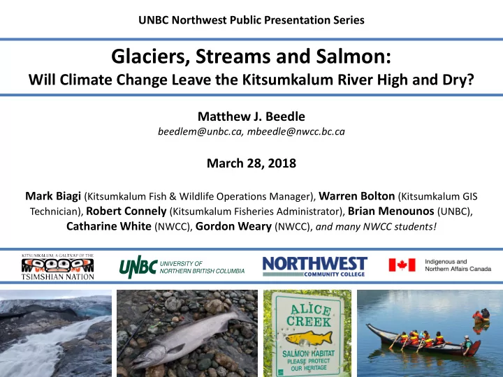
Glaciers, Streams and Salmon:
Will Climate Change Leave the Kitsumkalum River High and Dry?
Matthew J. Beedle
beedlem@unbc.ca, mbeedle@nwcc.bc.ca
March 28, 2018
Mark Biagi (Kitsumkalum Fish & Wildlife Operations Manager), Warren Bolton (Kitsumkalum GIS
Technician), Robert Connely (Kitsumkalum Fisheries Administrator), Brian Menounos (UNBC),
Catharine White (NWCC), Gordon Weary (NWCC), and many NWCC students!