
SLIDE 1
GIS Applications in Renewable Energy Project
Author: Eng.Taghreed Ahmad Al-Kdhat
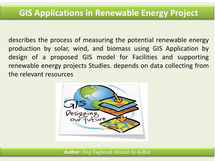
describes the process of measuring the potential renewable energy production by solar, wind, and biomass using GIS Application by design of a proposed GIS model for Facilities and supporting renewable energy projects Studies. depends on data collecting from the relevant resources
1