Geospatial technologies and hum anitarian planning planning in - - PowerPoint PPT Presentation

geospatial technologies and hum anitarian planning
SMART_READER_LITE
LIVE PREVIEW

Geospatial technologies and hum anitarian planning planning in - - PowerPoint PPT Presentation

Geospatial technologies and hum anitarian planning planning in in com com plex em plex em ergencies: ergencies: the the exam exam ple of REACH ple of REACH Summary Summary 1. What is REACH? 2. 2. Examples of application of


slide-1
SLIDE 1

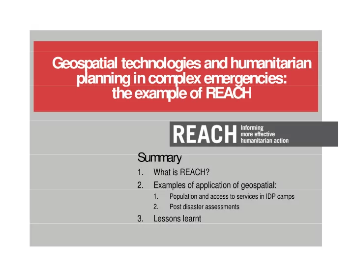
Geospatial technologies and hum anitarian planning in com plex em ergencies: the exam ple of REACH planning in com plex em ergencies: the exam ple of REACH

Summary Summary

1. What is REACH? 2. Examples of application of geospatial: 2. Examples of application of geospatial:

1. Population and access to services in IDP camps 2. Post disaster assessments

3. Lessons learnt

slide-2
SLIDE 2

TITLE 1 TITLE 1 TITLE 1

W hat is REACH

1

What is REACH

1

  • REACH is an interagency initiative of ACTED, IMPACT Initiatives

and UNOSAT. It was firstly piloted in 2010 and became operational and UNOSAT. It was firstly piloted in 2010 and became operational in 2012

  • REACH

aim s at filling hum anitarian inform ation gaps before, during and after em

  • ergencies. REACH

wants to prom

  • te evidence based

planning and decision m aking am

  • ng hum

anitarian actors planning and decision m aking am

  • ng hum

anitarian actors

  • REACH

systematically partners with key hum anitarian coordination platform s (such as clusters and m andated UN agencies) to facilitate platform s (such as clusters and m andated UN agencies) to facilitate

interagency data collection and analysis in humanitarian settings.

slide-3
SLIDE 3

TITLE 1 TITLE 1 TITLE 1

REACH’s toolbox

2

REACH’s toolbox

2

4

slide-4
SLIDE 4

TITLE 1 TITLE 1 TITLE 1 REACH’s toolbox

4

slide-5
SLIDE 5

TITLE 1 TITLE 1 TITLE 1

REACH’s deploym ents

3

REACH’s deployments

3

4

slide-6
SLIDE 6

TITLE 1 TITLE 1 TITLE 1

Use of geospatial technologies by REACH

4

Use of geospatial technologies by REACH

4

In its deployments, REACH uses remote sensing as a central data In its deployments, REACH uses remote sensing as a central data collection tool. Geospatial data is analysed by UNOSAT, with REACH assessment teams ground-truthing them in the field and promoting their use by humanitarian actors their use by humanitarian actors Following examples show use of geospatial technology in REACH Following examples show use of geospatial technology in REACH assessments to support humanitarian planning in the following conexts:

  • IDP camps of Somalia
  • Post disaster assessments in South Sudan, the Philippines
  • Post disaster assessments in South Sudan, the Philippines

and Mali

4

slide-7
SLIDE 7

TITLE 1 TITLE 1 TITLE 1

Exam ple 1: Population and access to services in Som alia IDP cam ps

REACH deployed in support of

  • REACH

deployed in support of Shelter, W ASH, Education and

Health clusters

Health clusters

  • Focus on facilitating humanitarian

planning in IDP camps access planning in IDP camps

  • Difficult access require significant

use of rem

  • te sensing, coupled with

use of remote sensing, coupled with rapid field assessments

4

slide-8
SLIDE 8

TITLE 1 TITLE 1 TITLE 1

Exam ple 1: Shelter count and population density

4

slide-9
SLIDE 9

TITLE 1 TITLE 1 TITLE 1 Example 1: Access to services

4

slide-10
SLIDE 10

TITLE 1 TITLE 1 TITLE 1 Example 1: Analysis and planning

4

slide-11
SLIDE 11

TITLE 1 TITLE 1 TITLE 1 Example 2: Post disaster assessments

In contexts of urban violence,

  • In contexts of urban violence,

damage a good proxy to understand affected areas understand affected areas and populations

  • Geospatial technologies also
  • Geospatial technologies also

provide opportunities for rapid evaluation of damage and affected areas in the and affected areas in the aftermath of natural disasters

4

slide-12
SLIDE 12

TITLE 1 TITLE 1 TITLE 1

Exam ple 2: Bor, South Sudan 2014

4

slide-13
SLIDE 13

TITLE 1 TITLE 1 TITLE 1

Exam ple 2: Juba, South Sudan 2014

4

slide-14
SLIDE 14

TITLE 1 TITLE 1 TITLE 1

Exam ple 2: T acloban, Philippines 2013

4

slide-15
SLIDE 15

TITLE 1 TITLE 1 TITLE 1

Exam ple 2: Flood m apping in M ali 2013

4

slide-16
SLIDE 16

TITLE 1 TITLE 1 TITLE 1

Lessons learnt

5

Lessons learnt

5

The use of remote sensing provides significant value-added for humanitarian planning, in particular in contexts of:

  • Man-made crises characterized by limited humanitarian access
  • Natural disasters requiring rapid information
  • Natural disasters requiring rapid information

Despite significant improvement in geospatial technology and in its Despite significant improvement in geospatial technology and in its availability and affordability, it is still insufficiently used in humanitarian

  • planning. Need to continue reinforcing links between agencies

specialising in geospatial analysis and field-based humanitarian actors specialising in geospatial analysis and field-based humanitarian actors

4

slide-17
SLIDE 17