
SLIDE 1
U.S. Department of the Interior U.S. Geological Survey
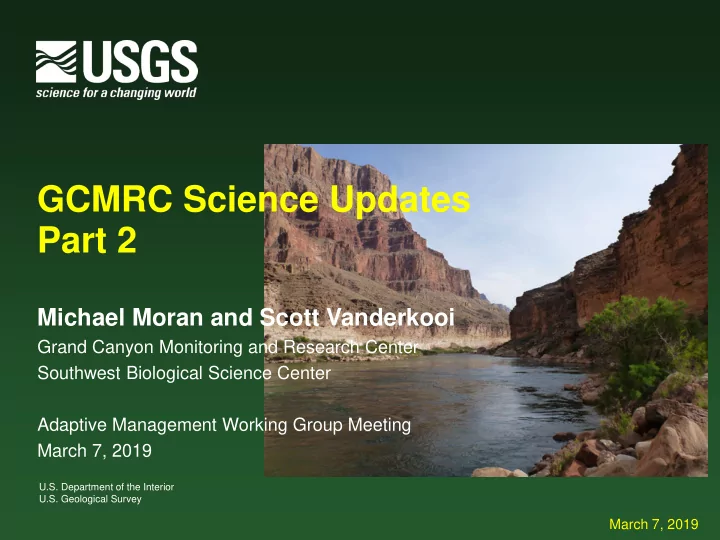
GCMRC Science Updates Part 2
Michael Moran and Scott Vanderkooi
Grand Canyon Monitoring and Research Center Southwest Biological Science Center Adaptive Management Working Group Meeting March 7, 2019
March 7, 2019