FPCD IGES Community based Forest Monitoring Project Prepared by - - PDF document

fpcd iges community based forest monitoring project
SMART_READER_LITE
LIVE PREVIEW

FPCD IGES Community based Forest Monitoring Project Prepared by - - PDF document

29/03/2013 FPCD IGES Community based Forest Monitoring Project Prepared by Henry Scheyvens, Inputs from Yati A. Bun, Lavinia Poruschi , Makino Yamanoshita and Mark Winai Workshop on Challenges and Opportunities for Papua New Guinea on


slide-1
SLIDE 1

29/03/2013 1

FPCD‐IGES Community‐based Forest Monitoring Project

Prepared by Henry Scheyvens, Inputs from Yati A. Bun, Lavinia Poruschi , Makino Yamanoshita and Mark Winai Workshop on Challenges and Opportunities for Papua New Guinea on Climate Change, REDD+, Land Use and Forest Resource Management 7 – 8 Feb. 2013 Sogiri, PNG

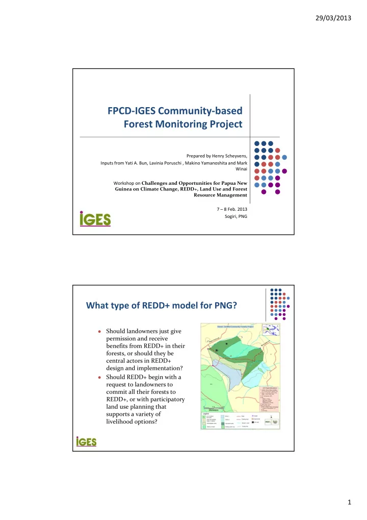
What type of REDD+ model for PNG?

Should landowners just give permission and receive benefits from REDD+ in their forests, or should they be central actors in REDD+ design and implementation?

Should REDD+ begin with a request to landowners to commit all their forests to REDD+, or with participatory land use planning that supports a variety of livelihood options?

slide-2
SLIDE 2

29/03/2013 2

How to do REDD+

 Estimate existing forest carbon

stocks

 Estimate emissions from land uses

and study historical emission trends

 Model future emissions from most

likely without REDD+ scenario (REL)

 Model future emissions from most

likely with REDD+ scenario

 Implement the REDD+ activity

and monitor and report on it

What roles should the landowners play in all

  • f this?

Ground‐based measurement ‐ Our approach: Identify roles of outside experts and communities at each stage

Step Expert Community Boundary and strata mapping Provides GIS expertise, Legal expertise, etc. Key role in boundary mapping; Trad. knowledge can aid stratification Forest measurement and recording Select carbon pools; Develop monitoring system and build community capacity; Guidance of community‐based monitoring teams; Key role in measurement of non‐wood carbon pools; Studies to improve biomass estimates (e.g. development of allometric equations, diameter‐height models, etc.) Establish plots; Record site conditions; Measure trees; Record data Data processing Set up spreadsheets, etc. Potential for data input

slide-3
SLIDE 3

29/03/2013 3 Remote sensing ‐ Our approach: Identify roles of

  • utside experts and communities at each stage

Step Expert Community Selection of satellite data and processing methodology Done be outside experts ‐ Data processing to produce initial land cover map Done be outside experts Assists with identifying geographical features on satellite images Land cover mapping validation Identify sample points and decide data to be gathered; Provide training and guidance to community forest monitoring teams Together with outside expert, conducts sampling to validate (assess accuracy) of processed map

Community measurement is reliable

Community Expert Cambodia Deciduous forest 72.2 ± 23 tC/ha 73.8 ± 8.6 tC/ha (Vathana 2010) Yogyakarta & Central Java Provinces, Indonesia 34.2 ± 20.6 tC/ha 35.3 ± 21.2 tC/ha ‐ Lampung province (Roshetko et al. 2002)

Community Experts

(Danielsen et al. 2011)

slide-4
SLIDE 4

29/03/2013 4

IGES‐FPCD Community‐based Forest Monitoring Project (CFMP) aim

 Develop, test and implement approaches

to engage local communities in monitoring their forests, including changes in carbon stocks

 With the communities, use the

information generated to:

 further improve forest management and  assess the feasibility of alternative forest

management options

Part of a regional project

slide-5
SLIDE 5

29/03/2013 5

Feb‐ March 2010

REFOFTC‐IGES National REDD+ W/S (included training needs assessment) – Cambodia, Vietnam, Indonesia

July 2010

Action research launched in Indonesia and PNG

Nov 2010

Action research launched in Cambodia

April ‐ May 2011

Yogyakarta Reflection Workshop

March 2011

Action research launched in Laos Mondol Kiri Reflection Workshop

Jan 2012

Action research launched in Vietnam

July 2012

Hayama Reflection Workshop

Jan 2013

Timeline

10

Project sites in PNG

Clan / FMA Total (km2) Gniat / Bangapala 63.65 Yate / Brahman 5.20 Awane / Awane 12.93 Dawen / Aronis 6.24 Malas / Urinite 3.75 Total area 91.77

slide-6
SLIDE 6

29/03/2013 6

Activities and progress with communities in Madang Province

Activity Forest measurement Development of community‐based forest monitoring (field manual) and community training methods Teams in 5 communities trained on forest measurement PSPs established and measured in 5 forests First round of data processing completed Mapping All clan boundaries demarcated using GPS/GIS All participatory land use maps created using GIS and being shared with clans Assessing costs/benefits of available RS options for land cover (carbon density) mapping

Satellite image options: What is best for community‐scale?

Satellite Sensor Type Res [m] Launch Date Distrib Price RapidEye REIS: 5 bands VNIR MS 6.5 2008 Panaxx GeoServe 144,375 JPY/tile EUR 0.95 Landsat 7 ETM + STC = ON: 7 VNIR + P MS 15/30/60 1999 USGS free Landsat 4‐5 TM (Thematic Mapper) MS 30 / 120 1982, 1984 USGS free Terra / EOS AM‐1 ASTER : 8 VNIR; 5 TIR; MS 15 / 30 / 90 1999 ERSDAC / JAPAN (?) L1A: 20 580 JPY/tile ALOS AVNIR‐2: 4 VNIR MS 10 2006 RESTEC 26 250 JPY ALOS PRISM: P MS 2.5 2006 RESTEC 26,250 JPY SPOT‐5 HRG: 4VNIR + P MS (2.5) 5 / 10 / 20 2002 GeoServe Astrium n/a EUR 1200/scene IKONOS VNIR, P MS 1 / 4 1999 GeoServe USD 10; S: USD 35 EROS‐A PAN PAN 1.8 2000 GeoServe EUR 300 / 600 QuickBird VNIR, P MS P: 0.6m M: 2.5m 2001 GeoServe VNIR: USD 14; VNIR‐P: USD 17; S‐PAN: USD 28; S‐MS: USD 32 GeoEye 1 VNIR, P, Stereo MS 0.5 / 2 2008 GeoServe USD 12.5 WorldView 1, 2 P, Stereo‐P; VNIR, P MS 0.5 / 2 2007; 2009 GeoServe P:USD14; S‐P: USD28; WV2: VNIR: USD 14; VNIR‐P: USD 17; 8‐Band: USD 32 EO‐1 Hyperion:220 Spectral Bands HS 30 2000 USGS 0.4 – 2.5 µm : free; (out: 2011) ALOS PALSAR: L‐Band 23.6 cm R 10 ~ 100 2006 RESTEC GeoServe 26,250 JPY n/a RADARSAT‐1 C‐Band 5.6 cm R 8 1995 GeoServe n/a JERS‐1 L‐Band 23.5 cm R 18 1992 GeoServe n/a

12

slide-7
SLIDE 7

29/03/2013 7

13

Freely available Landsat might be sufficient for larger land parcels

Bangapala: 63.65 km2

14

Landsat is not suitable for small land parcels

RapidEye False Colour Composite Landsat False Colour Composite Awane: 12.93 km2

slide-8
SLIDE 8

29/03/2013 8

15

2010/11 2010/06 Initial land cover map using RapidEye Initial land cover map using Landsat

Classification accuracy

16

slide-9
SLIDE 9

29/03/2013 9

 Small area ‐> Insufficient resolution  Differences in elevations caused distortions

17

Brahman Land Cover Mapping: PALSAR

Brahman: 5.2 km2

Concluding thought

 Always important to consider how to make every

activity associated with REDD+ fully relevant to local communities

 E.g. When doing the measurement, the older men can

pass on their knowledge on species identification to the younger men/boys

slide-10
SLIDE 10

29/03/2013 10

Thank you for your attention

For more information: Henry Scheyvens Director, Natural Resources Management Group Institute for Global Environmental Strategies 2108‐11 Kamiyamaguchi, Hayama, Kanagawa Japan 240‐0115 Email: scheyvens@iges.or.jp Web site: http://www.iges.or.jp