
SLIDE 1
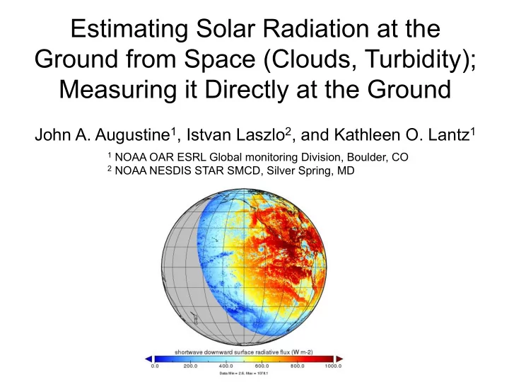
Estimating Solar Radiation at the Ground from Space (Clouds, Turbidity); Measuring it Directly at the Ground
John A. Augustine1, Istvan Laszlo2, and Kathleen O. Lantz1
1 NOAA OAR ESRL Global monitoring Division, Boulder, CO 2 NOAA NESDIS STAR SMCD, Silver Spring, MD