
SLIDE 1
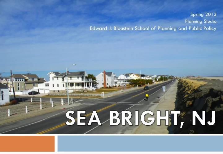
Spring 2013 Planning Studio
Edward J. Bloustein School of Planning and Public Policy
Edward J. Bloustein School of Planning and Public Policy - - PowerPoint PPT Presentation
Spring 2013 Planning Studio Edward J. Bloustein School of Planning and Public Policy Presentation Outline 1. Who We Are 2. Background 3. Impacts of Hurricane Sandy 4. Previous Planning Efforts 5. Our Purpose 6. Community Engagement 7.
Spring 2013 Planning Studio
Edward J. Bloustein School of Planning and Public Policy
1. Who We Are 2. Background 3. Impacts of Hurricane Sandy 4. Previous Planning Efforts 5. Our Purpose 6. Community Engagement 7. Strengths, Weaknesses Opportunities & Threats 8. General Planning Goals 9. Specific Recommendations 10. Areas of Focus 11. Conclusions
Edward J. Bloustein School
Public Policy Graduate Planning Studio Spring 2013
are renters
clubs
taxes jeopardized by Hurricane Sandy
round residents were back
into lawns and gardens; the beach was urbanized (and later abandoned)
1,028 (of 1,126 ) housing units damaged $72.1 million in lost assessed property values Community facilities destroyed 6 feet of sand on Ocean Avenue after Superstorm Sandy Substantial negative impacts to homeowners, renters and businesses
are dated |largely
not fully implemented
plan can be more aggressive
– “Sea Level Rise in Coastal Monmouth County” raised red flags about the future
This animation illustrates the scale
Borough of Sea Bright, NJ.
A t l a n t i c O c e a n
Pre-Superstorm Sandy Conditions
Given the increasing threats from severe coastal storm events and sea level rise, our studio’s mission is to provide a planning framework that can assist Sea Bright to
Downtown and other assets, land use, tax revenues, and the workforce
Location, mitigation strategies, energy and the ecosystem
Demographics, housing, open space and community facilities
Access, transportation, parking, automobiles, bicycle and pedestrian accommodations
Strengths Historic bond w/place Community spirit Special location Proximity to NYC Beaches, marinas Restaurant destination Affordability Large public parcels Weaknesses Physically exposed Seasonal economy Bedroom community Inefficient use of land Lack of civic space Difficult access to waterfront Unattractive exposed sea wall Micro-lots Inefficient circulation | parking system Auto-dependence Opportunities Diversify economy Increase economic base | local jobs Increase population Storm mitigation strategies Renewable energy | green technologies Improve circulation and parking Enhance public access to waterfront Better manage land Threats Increased frequency and intensity of storms Beach erosion De-population Loss of character Fiscal collapse Increased auto- dependence
Residential
Existing Housing Stock Proposed Housing Typology
¨
Encourage building typologies that recognize the size of the underlying lots and better respond to the challenges of periodic flooding
¨
Permit attached housing in the downtown residential area to maximize usable space on small lots and enable shared staircases.
¨
Adopt design guidelines to regulate aesthetics of elevated houses
¨
Apply green building standards: opportunity to rebuild a more sustainable Sea Bright
Collective Elevation – Attached Single Family Houses
Overview
Immediate Actions Summer 2013
Temporary Structures
local businesses
residents and visitors
municipality
interest Mobile Vendors Pop-up Retail
Short Term
Improvement District or economic development entity
uses | building typolgies
marketing plan to incentivize and attract new businesses | uses
Long Term
ups | creative activities
center, programming and special events
brand recognition
development entity
resources
downtown, ¡the ¡beaches ¡and ¡poten@ally ¡the ¡train ¡sta@on ¡
Sea wall and unused land
Inappropriate intersection design
Streetscapes and parking lot
Mixed-use marina
Problem:
land
Solutions:
food trucks
pedestrian trail
FOOD CARTS +/- 00 FEET
needed in 8 years
will be dangerous for pedestrians
creates safer intersection
across bridge
entrance to Sea Bright
Sea Bright's 2007 Smart Growth Plan calls to preserve the identity and image of Sea Bright while creating a better streetscape along Ocean Ave with adequate parking and pedestrian space
Existing Conditions Option 1 Option 2
Route 36 Boulevard
Route 36 Boulevard
Historic Seaside Communities
communities were major vacation destinations in the 1920s-1940s
grand in appearance
competed for tourists against
Municipal Parking Lots
Sea Bright's 2007 Smart Growth Plan calls to preserve the identity and image
consolidating municipal facilities, providing adequate parking, increasing public access to the beach, fostering pedestrian-friendly, human-scaled design in the downtown
Features
Negative Aspects
and excess energy sold back to the grid
Positive Aspects
Features
Negative Aspects
Positive Aspects
Features
Negative Aspects
Positive Aspects
Current Conditions
water
Potential Future
liner buildings