
SLIDE 1
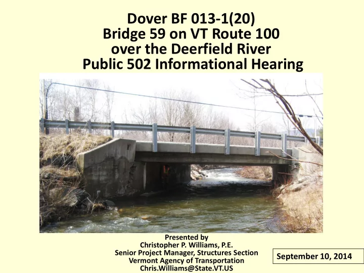
Dover BF 013-1(20) Bridge 59 on VT Route 100
- ver the Deerfield River
Public 502 Informational Hearing
Presented by Christopher P. Williams, P.E. Senior Project Manager, Structures Section Vermont Agency of Transportation Chris.Williams@State.VT.US
September 10, 2014