
SLIDE 1
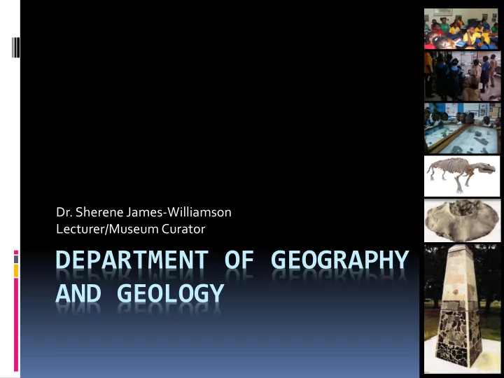
DEPARTMENT OF GEOGRAPHY AND GEOLOGY
- Dr. Sherene James-Williamson
Lecturer/Museum Curator
DEPARTMENT OF GEOGRAPHY AND GEOLOGY THE De La BECHE BUILDING - - PowerPoint PPT Presentation
Dr. Sherene James-Williamson Lecturer/Museum Curator DEPARTMENT OF GEOGRAPHY AND GEOLOGY THE De La BECHE BUILDING UNITS AND CENTRES Earthquake Unit Geology Museum Marine Geology Unit Unit For Disaster Studies Map Library
DEPARTMENT OF GEOGRAPHY AND GEOLOGY
Lecturer/Museum Curator
Geology is the science and study of the Earth, its composition, structure, physical properties, history, and the processes that shape it. Geologists study the physical structure and processes of the Earth. Geologists work to understand the history of our planet.
Geography is the study of the earth’s landscapes, peoples, places and
bridging the gap between the social sciences (human geography) and the natural sciences (physical geography).
The Department currently offers
Minors in Geography and Geology and
The Department currently offers
Why Geography and Geology
Introduction to Human & Physical Geography Geographies of Tourism Urban Geography Geomorphic Processes and Landforms Geosphere and Hydrosphere Climate Change: Concepts, Causes and Issues Geography and Development Urban and Regional Planning Atmosphere and Biosphere Introduction to GIS and Remote Sensing Geographical Thought and Research Methods Disaster Management Geography of the Caribbean Tropical Agricultural Systems and Development
Introduction to Earth Sciences Field Geology Palaeontology Caribbean Geology Sedimentology Hydrogeology Igneous Petrology & Metamorphic Petrology Marine Geology & Applied Geophysics Structural Geology and Geological Mapping Applied Sedimentology & Petroleum Geology Engineering Geology Introduction to GIS and Remote Sensing
Geography.
Faculty requirements
Fieldwork/Field classes are held on Saturdays and/or Sundays. All fieldwork in Geography and Geology is Mandatory.
Field trips and field work are an active and integral part of the work and study of the department. They are both educational and fun! It allows students and lecturers to have experiences with the local community and relate theory taught in classes to real-life situations.
A student takes a ride on a Donkey during a Tropical Agriculture Field Trip.
YEAR 1 – SEMESTER 1
GEOL1101 Earth Science I: Earth Materials & Plate Tectonics 3 credits Week 1-6 GEOL1102 Earth Science II: Earth Processes & Earth History 3 credits Week 7-12
Earth Materials and Plate Tectonics 3 credits – 1st 6 weeks 18 hrs lectures; 24 hrs practical; 6 hrs tutorial; 1 field trip Tectonics, Earthquakes, Volcanoes, Minerals & Rocks
Earth Processes and Earth History
3 credits – 2nd 6 weeks 18 hrs lectures; 24 hrs practical; 6 hrs tutorial; 1 field trip The History of the Earth and Life, Surface Processes
YEAR 1 – SEMESTER 2
GEOL1103 Earth Science III: Minerals & Mineral Deposits 3 Credits Semester 2 Week 1-6 GEOL1104 Earth Science IV: Geological Maps & Environmental Geology 3 Credits Semester 2 Week 7-12
Minerals and Mineral Deposits 3 credits – 1st 6 weeks 18 hrs lectures; 24 hrs practical; 9 hrs tutorial; Minerals and Gemstones, Mineral Optics, Economic Mineral Deposits
Geological maps and Environmental Geology 3 credits – 2nd 6 weeks 18 hrs lectures; 24 hrs practical; 6 hrs tutorial; 1 field trip Petroleum Geology & Energy Resources, Geology of the Environment, Geologic Maps
YEAR 1 – SEMESTER 1
GEOG1131 Human Geography I: Population, Migration & Human Settlement 3 credits Week 1-12 GEOG1231 Earth Environments I: Geomorphology & Soils 3 credits Week 1-12
YEAR 1 – SEMESTER 2
GEOG1132 Human Geography II: World Economy, Agriculture & Food 3 credits Week 1-12 GEOG1232 Earth Environments II: Climate & the Biosphere 3 credits Week 1-12
A GIS helps you answer questions and solve problems by looking at your data in a way that is quickly understood and easily shared. GIS technology can be integrated into any enterprise information system framework. GIS allows us to view, understand, question, interpret, and visualize data in many ways that reveal relationships, patterns, and trends in the form of maps, globes, reports, and charts.
The students, lecturers and researchers at the Department of Geography and Geology, utilize GIS in various aspects of their work.
Students in the field using GPS units to collect data for GIS projects.
Urban/Population Geography Climatology Urban and Regional Planning Hydrology Geomorphology Disaster Management Economic Geography Teacher/Lecturer/Researcher Cultural Geography Environmental Consultants Biogeography GIS Analyst
Palaeontology Geomorphology Volcanology Planetary Geology Seismology Marine Geology Hydrology/Hydrogeology Disaster Management Mineralogy Teacher/Lecturer/Researcher Sedimentology Museum Curators Petroleum/Exploration Geology Environmental Consultants
WHERE DO GEOGRAPHERS AND GEOLOGISTS WORK