
6/18/2010 1
MarineTech 2009 - 2011 STEM Preparation through Marine Engineering, Science and Technology Experiences STEM Preparation through Marine Engineering, Science and Technology Experiences
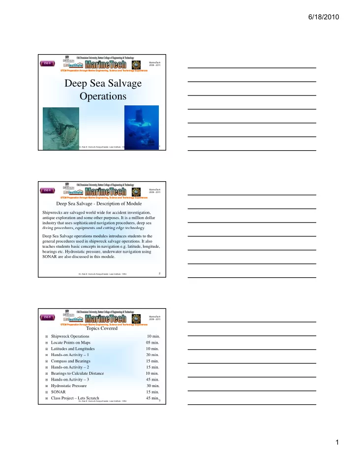
Deep Sea Salvage Operations
- Dr. Alok K. Verma & Ameya Erande Lean Institute - ODU
1
MarineTech 2009 - 2011 STEM Preparation through Marine Engineering, Science and Technology Experiences STEM Preparation through Marine Engineering, Science and Technology Experiences
Deep Sea Salvage - Description of Module
Shipwrecks are salvaged world wide for accident investigation, antique exploration and some other purposes. It is a million dollar industry that uses sophisticated navigation procedures, deep sea diving procedures, equipments and cutting edge technology.
- Dr. Alok K. Verma & Ameya Erande Lean Institute - ODU
2
g p , q p g g gy Deep Sea Salvage operations modules introduces students to the general procedures used in shipwreck salvage operations. It also teaches students basic concepts in navigation e.g. latitude, longitude, bearings etc. Hydrostatic pressure, underwater navigation using SONAR are also discussed in this module.
MarineTech 2009 - 2011 STEM Preparation through Marine Engineering, Science and Technology Experiences STEM Preparation through Marine Engineering, Science and Technology Experiences
Topics Covered
Shipwreck Operations 10 min. Locate Points on Maps 05 min. Latitudes and Longitudes 10 min. Hands-on Activity – 1
20 min.
- Dr. Alok K. Verma & Ameya Erande Lean Institute - ODU
3
y
Compass and Bearings 15 min. Hands-on Activity – 2
15 min.
Bearings to Calculate Distance 10 min. Hands-on Activity – 3
45 min.
Hydrostatic Pressure 30 min. SONAR
15 min.
Class Project – Lets Scratch
45 min.