SLIDE 1
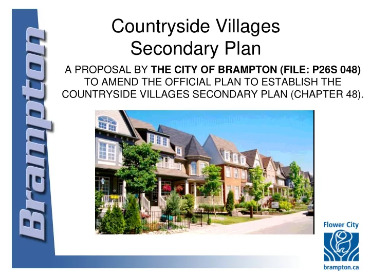
Countryside Villages Secondary Plan
A PROPOSAL BY THE CITY OF BRAMPTON (FILE: P26S 048) TO AMEND THE OFFICIAL PLAN TO ESTABLISH THE COUNTRYSIDE VILLAGES SECONDARY PLAN (CHAPTER 48).
SLIDE 2
Background
1,600 acres (650 hectares) Mayfield Road to the north, Countryside Drive to the south, the west branch of the West Humber River to the east and Heart Lake Road to the west designated for residential and employment uses in the Brampton Official Plan since 1997
SLIDE 3
Planning Vision
Planning Vision for a distinct community incorporating the concepts of “new urbanism” and sustainable development “new urbanism neighbourhoods” are designed to contain a wide range of housing and employment opportunities and to be walkable Sustainable development aims to balance social, economic and environmental factors to meet present needs while preserving the environment for future generations
SLIDE 4 Planning Vision
In June 2007 Council endorsed the Planning Vision, for a pedestrian friendly, transit-orientated community, as follows:
- Protect/enhance natural heritage features
- transit supportive design
- Create a Main Street in the centre of the community
- centrally located amenities /intensity of uses in key
areas/corridors
- connectivity linking the centre of the community with its
neighbourhoods
- green space and natural features as a focus
SLIDE 5 Planning Vision
- variety of housing types and land uses, including a major
employment area at the western edge of the community
- neighbourhood centres located at the intersection of collector &
arterial roads with a mix of uses to serve area residents
- street network balancing function and urban design
SLIDE 6 Planning Vision
Develop city-wide ADS policy (Alternative Development Standards) to implement new urbanism, to be used in strategic areas of the secondary plan key components include:
- rear laneways
- turning circles
- reduced right-of-way widths
SLIDE 7 Background Studies
Background studies to guide the land use concept and implementing policies:
- Cultural Heritage
- Retail Commercial and Facility Needs Analysis
- Urban Design
- Master Environmental Servicing Plan
- Transportation/Transit
- Alternative Development Standards
- Infrastructure/Servicing
SLIDE 8 Proposal
Amend the Brampton Official Plan to:
- implement the Countryside Villages Secondary Plan
- establish a policy framework and provide direction for
detailed land use planning
- guide the future development of a new community.
draft official plan amendment sets out:
- land use designations
- a transportation network
- policies to achieve high quality, efficient, orderly
and ecologically responsible development
SLIDE 9 Proposal
inspired by LEED (Leadership in Energy and Environmental Design) neighbourhood design principles Rating system with pre-requisites and credits under the following system:
Linkage
& Design
Technology
Process
SLIDE 10
Proposal
Planned for a minimum of 50 persons and jobs per hectare, in keeping with the Growth Plan density target estimated population of 20,000 people estimated total employment of 7,500 jobs.
SLIDE 11
Draft Land Use Concept
SLIDE 12 Key OPA Components
- pen space network that includes:
Key components of the draft official plan amendment include:
- neighbourhood parks
- local parks
- existing/enhanced natural features consisting
- f valleylands, wetlands, watercourses and a
woodlot
- proposed expansion of up to 50 acres to the
existing Brampton Sesquicentennial City-wide park
SLIDE 13 Key OPA Components
western edge of the planning area designated Industrial
- significant employment area
- both office and industrial uses
- access and exposure offered by Highway 410
SLIDE 14 Key OPA Components
community uses include: elementary, middle, secondary school sites and proposed sites for places of worship range of housing types and densities to promote a transit friendly community:
- Single detached, semi-detached, on-street townhouses
- Laneway product
- Mixed-use and Live/work units
SLIDE 15 Key OPA Components
- retail hierarchy that includes Neighbourhood Retail,
Convenience Retail, Motor Vehicle Commercial and live/work opportunities
- A natural heritage system comprised of valley corridors,
woodlots and wetlands.
SLIDE 16 Outstanding Issues
There are some outstanding issues already identified by staff and public agencies that will require resolution before the proposed land use concept and official plan amendment can proceed to Council for adoption. They include: TRCA request to:
- explore connection between woodlot and valley lands
to the east
- Protect Tributary C of the West Branch of the West
Humber River
- confirm location of trails within valleys/buffers
- Avoid realigning the third creek discharging into the
West Humber River
- Modify alignment of E/W collector road to avoid
crossing the valley at Bramalea Road
SLIDE 17 Outstanding Issues
- Further examine distribution of commercial uses to
establish hierarchy and format of retail sites throughout the secondary plan area.
- Ensure sustainable, pedestrian friendly and high quality
urban design for commercial centres – especially the Village Core.
- Two places of worship identified on the land use plan (one
existing) which may not satisfy new criteria from the Places
- f Worship study regarding number of sites.
- planning and implementation of new collector
roads/widening of existing arterials needs to be undertaken in accordance with the requirements for Schedule C projects as defined in the Municipal Class Environmental Assessment.
SLIDE 18 Outstanding Issues
- Peel District School Board:
- new secondary school site to service the secondary plan and
lands to the east outside SP48
- proposed land use plan shows two potential sites with
underlying residential designation
- Discussions underway between Metrus and the PDSB to find a
suitable site, including looking at sites outside of SP48.
SLIDE 19
Draft Official Plan Amendment
establishes policies and a detailed land use plan, including a natural heritage system and supporting road network, as well as schedules and appendices, as Chapter 48 of the Brampton Official Plan; plans to accommodate a minimum of 50 persons and jobs per hectare, in keeping with the Growth Plan density targets for greenfield areas; special policy area east of Heart Lake Road and south of Mayfield Road to recognize a potential proposal for a private school; transit supportive spine road linking neighbourhoods with local centres and the Town Centre continued operation of the North Bramalea Church and its proposed expansion for residential uses;
SLIDE 20 Draft Official Plan Amendment
Alternative Development Standards as a more efficient version of the City’s current standards; Town Centre located at Bramalea Road and Mayfield Road with Neighbourhood Retail, medium density, retained natural heritage features and existing North Bramalea Church; significant employment area between Heart Lake Road and Dixie Road; requires Community Block Plans to be prepared for each sub-area
coordinate the staging and sequencing of development in conjunction with the provision of infrastructure and services required to support growth, in accordance with the City’s Growth Management Program
SLIDE 21
Next Steps
draft land use schedule and secondary plan official plan amendment are presented by the City for public input and are also being circulated to public agencies. Next steps in the secondary plan process include: assessing public input and agency comments, reporting back to Planning, Design and Development Committee with a revised land use concept and official plan amendment in the new year.