SLIDE 1 Prepared for the
Isinglass River Local Advisory Committee by the Strafford Regional Planning Commission
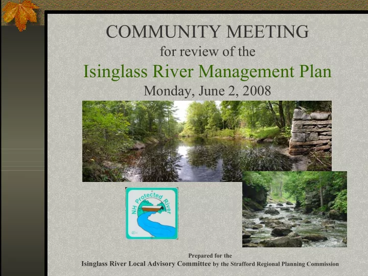
COMMUNITY MEETING
for review of the
Isinglass River Management Plan
Monday, June 2, 2008
SLIDE 2 This project was funded by a grant from the New Hampshire Department of Environmental Services.
SLIDE 3
The Isinglass River Local Advisory Committee Wayne Donle – Strafford Chair - Elizabeth Evans - Strafford Maryalice Fischer – Strafford Bruce Smith – Strafford emeritus Ann Schulz – Barrington Pam Skeffington – Barrington Ted Walsh - Barrington John Johnstone – Rochester Elaine Lauterborn - Rochester Alan Davis – Rochester Dean Peschel – City of Dover
SLIDE 4
NH Designated Rivers
New Hampshire Rivers Management and Protection Program Isinglass River is 1 of 15 Designated Rivers in the state
SLIDE 5 Isinglass River - Designated Status
Provides increased protection against the construction of new dams, channel alterations, water quality impairment, and siting
- f solid and hazardous waste facilities in the river corridor
Establishment of a local river management advisory committee to coordinate management and protection of the river at the local and regional levels Development of a long-range management plan for the river
NH Designated Rivers
SLIDE 6 17.93
Total Miles
11.64 From immediately upstream of the Route 126 bridge in the Town of Barrington, to the confluence with the Cocheco River in the City of Rochester
Rural River
5.75 From immediately downstream of the Route 202A bridge in the Town of Strafford to immediately upstream of the Route 126 bridge in the Town of Barrington
Natural River
0.54 In the Town of Stafford from the outflow of Bow Lake Dam to immediately downstream
Rural River Segment Length (linear miles) Location Segment Designation
Designated Segments
SLIDE 7
River Corridor and Watershed
SLIDE 8 Watershed Communities
51,399 Total 45.8 23,487 Strafford 13.8 7,079 Rochester 6.4 3,252 Northwood <0.01 0.5 New Durham 7.6 3,825 Farmington 0.03 13 Dover 26.5 13,638 Barrington Watershed (%) Watershed (acres) Community
SLIDE 9 Significant Resources
The Land Conservation Plan for New Hampshire’s Coastal Watersheds
26,122 2,890 Core Focus Areas and Supporting Landscape
Watershed Corridor Resource
48,098 5,395 Exemplary Natural Communities
Watershed Corridor Resource
NH Wildlife Action Plan
4,006 510 Wetlands 38,043 3,449 Forest Cover
Watershed Corridor Resource
SLIDE 10 Part of a 2-year multipurpose stream flow monitoring network expansion project for 15 new stream gages across New Hampshire
The expansion project was requested by the New Hampshire Rivers Management Advisory Committee (RMAC), proposed by the Stream Gage Task Force (SGTF), and funding for installation was provided by the New Hampshire Legislature. The USGS station operated is cooperation with the New Hampshire Department of Environmental Services.
USGS Gage Station #010728700 Isinglass River, Strafford County, NH Drainage Area 73.6 square miles
River Flows
4,370 239 2006 1,780 158 2005 1,740 140 2004 862 Not reported 2003
Annual Peak Discharge (cfs) Annual Ave. Discharge (cfs)
Year
SLIDE 11
Management approach focused on
Protecting and conserving the rivers many resources Protecting riparian and aquatic habitat Advocating for water quality and quantity to sustain aquatic and recreational uses Balancing the development of land and water uses for recreation with other public needs within the river corridor and watershed
Overview
SLIDE 12
Primary Goals
Isinglass River LAC supports
Implementation of the Plan Supports integration of its goals and strategies by the corridor communities in their planning initiatives and land use decisions Establish a unified framework for river corridor and watershed communities Work together to achieve protection of the Isinglass River and its resources
SLIDE 13
The purpose of the River Management Plan is to
Identify exiting resources and current conditions Identify priority management issues Prioritize management issues and develop strategies Develop and implement an action plan to achieve the management priorities
Purpose
SLIDE 14
Water Quality and Quantity Flood Management and Remediation Land Protection Resource and Habitat Conservation River Corridor and Watershed Planning Stewardship, Education and Outreach
Primary Issues
SLIDE 15
Water Quality and Quantity Maintain viability of fishery Maintain high water quality Protect and restore riparian areas and buffers Protect public and private drinking water sources Raise awareness of nonpoint source pollution Maintain Class B status for recreational uses Balance uses while reserving the river quality
Primary Issue
SLIDE 16
Primary Issue
Flood Management and Remediation
Preserve flood storage areas Reduce and prevent flood damage to river/riparian areas Improve habitat protection at river/tributary crossings Improve road management post-flood cleanup practices Improve stormwater management methods
SLIDE 17
Primary Issue
Land Protection- Resource and Habitat Conservation
Prioritize lands for protection and conservation Implement instream flows for habitat and recreation Preserve forests, open space and habitat Conserve riparian, shoreland and water quality buffers Preserve historic resources in the river corridor
SLIDE 18
Primary Issue
River Corridor and Watershed Planning
Coordinate watershed planning with partner agencies and organizations Coordinate watershed planning among the communities Consistency in levels of resource protection
Sharing of information and resources
SLIDE 19
Primary Issue
Stewardship, Education and Outreach
Raise Awareness of the river and its resources Foster stewardship of riparian landowners and all residents in the watershed Pursue education and outreach across various media Promote education about natural communities in the river and watershed
SLIDE 20
Public Comment
Have local concerns not been addressed? How can coordination within the watershed be improved? How might your community use this plan?