
SLIDE 1
1
City of San Antonio Edwards Aquifer Protection Program Southwest - - PowerPoint PPT Presentation
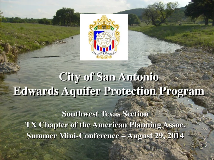
City of San Antonio Edwards Aquifer Protection Program Southwest Texas Section TX Chapter of the American Planning Assoc. Summer Mini-Conference August 29, 2014 1 Introduction Objective of Edwards Aquifer Protection Program to
1
2
3
Source: Edwards Aquifer Authority
4
4
Drainage Zone Recharge Zone Artesian Zone
Artesian Well Balcones Fault Zone
Source: Edwards Aquifer Authority
5
6
Parks Venue Edwards Aquifer Venue
$90 Million $45 Million
7
8
Source: Wikinut.com
9
10
11
Total land protected to date: 123,865 acres
12
12
13
14
15
16
17
Caves Sinkholes Fractures
18
19