
SLIDE 1
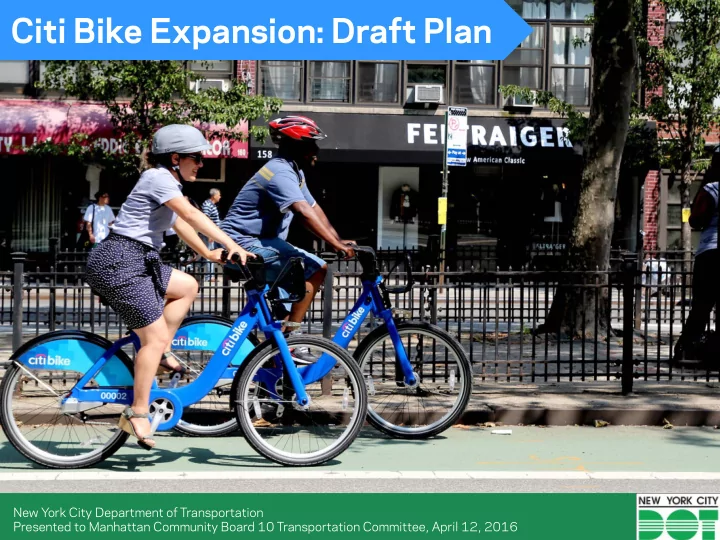
Citi Bike Expansion: Draft Plan
New York City Department of Transportation Presented to Manhattan Community Board 10 Transportation Committee, April 12, 2016
Citi Bike Expansion: Draft Plan New York City Department of - - PowerPoint PPT Presentation
Citi Bike Expansion: Draft Plan New York City Department of Transportation Presented to Manhattan Community Board 10 Transportation Committee, April 12, 2016 What is Citi Bike? Citi Bike is New York Citys bike share system Citi
New York City Department of Transportation Presented to Manhattan Community Board 10 Transportation Committee, April 12, 2016
spread across a defined service area
minutes
but too short for a taxi or the subway
2
term memberships
for no additional cost: − Up to 45 min. for annual − Up to 30 min. for short-term
than 45/30 minutes
station in NYC
3
trips: commuting, running errands, recreation
transportation network
healthy lifestyle
when not in use
maintenance
4
with 6,000 bikes at 332 stations
Motivate in late 2014
approximately 7,500 bikes available at 475 stations
Data: NYCDOT (as of March 2016)
Total trips
Memberships sold
Active annual members
Trips on busiest days
Trips per bike on busiest days
riding behavior than other cyclists
Share riders have lower rates of crashes than other cyclists
Source: NYCBS; January 1, 2015 to March 14, 2016
10
Citi Bike/Motivate promotes cycling safety with:
Annual membership $155 /year
Discounted membership $5 / month All NYCHA residents and members of select credit unions are eligible for discounted memberships. Credit Unions:
Credit Union
Union
More than 2,000 Discounted Memberships purchased.
12
13
As of fall 2015, system has:
By end of 2017, Citi Bike will add another:
Total size of Citi Bike system will be:
Phase 2 sets stage for future expansion in any direction
Current Service Area Phase 2 Expansion Phase 2 Expansion
and outreach campaign conducted to select station locations in CB 10
has included: ‒ Meetings with CB 10, elected
BIDs, and other community
‒ Public community planning workshop in November 2015
communities to find best locations for stations in their neighborhoods
‒ Meetings with elected officials, community boards, local institutions, and stakeholders ‒ Community planning workshops ‒ Public web portal ‒ Draft station siting plan presented to community board ‒ Final plan reflective of draft plan feedback
Map presented at community planning workshops in November 2015 270 potential sites shown Participants asked to use red and green stickers and fill out comment forms to indicate
Potential sites are shown here by intensity of stakeholder preference Darker shade indicates greater preference Inputs include:
from public web portal
considerations
Where possible, less preferred sites were removed from consideration
Community preference and network considerations were combined to create a draft plan 17 sites needed for CB 10 Draft Plan
11
Stations are typically located in the parking lane of the street, or
enough to allow pedestrian flow STATIONS IN ROADBED
ALONG CURB LINE
STATIONS ON SIDEWALK
ALONG PARK VERGE
Stations are typically located in the parking lane of the street, or
enough to allow pedestrian flow
ALONG BUILDING LINE / FENCE
Data: NYCDOT (as of March 2016)
Data: NYCDOT (as of March 2016)