
SLIDE 1
May 6, 2019
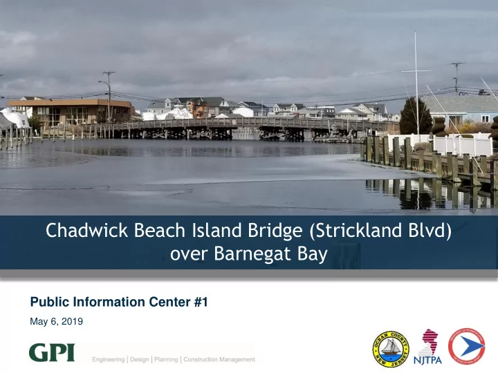
Public Information Center #1
Chadwick Beach Island Bridge (Strickland Blvd)
- ver Barnegat Bay
Chadwick Beach Island Bridge (Strickland Blvd) over Barnegat Bay - - PowerPoint PPT Presentation
Chadwick Beach Island Bridge (Strickland Blvd) over Barnegat Bay Public Information Center #1 May 6, 2019 Todays Agenda 1. Local Concept Development Process 2. Existing Conditions 3. Environmental Considerations 4. Stakeholder Survey
May 6, 2019
May 6, 2019