
SLIDE 1
Capturing the Value of Ecosystem Services Jon D. Erickson - - PowerPoint PPT Presentation
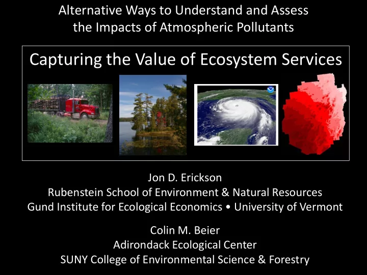
Alternative Ways to Understand and Assess the Impacts of Atmospheric Pollutants Capturing the Value of Ecosystem Services Jon D. Erickson Rubenstein School of Environment & Natural Resources Gund Institute for Ecological Economics
ECOSYSTEM SERVICES Gas regulation Climate regulation Disturbance regulation Water regulation Water supply Erosion control and sediment retention Soil formation Nutrient cycling Waste treatment Pollination Biological control Refugia Food production Raw materials Genetic resources Recreation Cultural ECOSYSTEM FUNCTIONS Regulation of atmospheric chemical composition. Regulation of global temperature, precipitation, and other biologically mediated climatic processes at global, regional, or local levels. Capacitance, damping and integrity of ecosystem response to environmental fluctuations. Regulation of hydrological flows. Storage and retention of water. Retention of soil within an ecosystem. Soil formation processes. Storage, internal cycling, processing, and acquisition of nutrients. Recovery of mobile nutrients and removal or breakdown of excess or xenic nutrients and compounds. Movement of floral gametes. Trophic-dynamic regulations of populations. Habitat for resident and transient populations. That portion of gross primary production extractable as food. That portion of gross primary production extractable as raw materials. Sources of unique biological materials and products. Providing opportunities for recreational activities. Providing opportunities for non-commercial uses. From: Costanza, R. R. d'Arge, R. de Groot, S. Farber, M. Grasso, B. Hannon, S. Naeem, K. Limburg, J. Paruelo, R.V. O'Neill,
387:253-260
Source: Costanza et al., “The Value of the World’s Ecosystem Services and Natural Capital,” Nature 387: 253-260, 1997.
biomes was converted between 1950 and 1990
the area of two biomes and more than half of the area of four others had been converted by 1990
Source: Millennium Ecosystem Assessment
High generality, low resolution, broad participation by all stakeholder groups.
More detailed and realistic attempts to replicate the dynamics of a particular system of interest, with emphasis on calibration and testing.
Medium to high resolution. Emphasis on producing future management scenarios. Can be exercising #1 or #2, or require further elaboration to apply management questions.
Source: Costanza, R. and M. Ruth, “Using Dynamic Modeling to Scope Environmental Problems and Build Consensus,” Environmental Management 22: 183-195, 1998.
Ecosystem Processes Benefit Flows
Direct feedbacks to society Provisioning Regulating Cultural
External Drivers External Drivers
Beier et al. (2008) Ecosystems
Beier et al. (2008) Ecosystems
Source: Stern review on the economics of climate change, 2006
Picture taken by an automatic camera located at an electrical generating facility on the Gulf Intracoastal Waterway (GIWW) where the Route I-510 bridge crosses the GIWW. This is close to where the Mississippi River Gulf Outlet (MRGO) enters the GIWW. The shot clearly shows the storm surge, estimated to be 18-20 ft. in height..
Past and Projected Wetland Loss in the Mississippi Delta (1839 to 2020)
History of coastal Louisiana wetland gain and loss over the last 6000 years, showing historical net rates of gain of approximately 3 km2/year over the period from 6000 years ago until about 100 years ago, followed by a net loss of approximately 65 km2/yr since then.
2000 4000 6000 8000 10000 12000 14000 16000 18000 20000
1000 Years Before Present
3 sq km/yr
Net wetland gain
65
sq km/yr Net wetland loss
Figure 1. Typical hurricane swath showing GDP and wetland area used in the analysis.
1 wi 2 GDP i
1 (wi 1) 2 wi 2
i
Predicted total damages from storm i Avoided cost from a change of 1 ha of coastal wetlands for storm i
(1) Where: TDi = total damages from storm i (in constant 2004 $US); GDPi = Gross Domestic Product in the swath of storm i (in constant 2004 $US). The swath was considered to be 100 km wide by 100 km inland. gi = maximum wind speed of storm i (in m/sec) wi = area of herbaceou s wetlands in the storm swath (in ha). ui = error
Figure 2. Observed vs. predicted relative damages (TD/GDP) for each of the hurricanes used in the analysis.
0.0001 0.0010 0.0100 0.1000 1.0000 0.0001 0.0010 0.0100 0.1000 1.0000 10.0000 TD/GDP observed
Opal 2005 Jeanne 2004 Andrew 1992 Fran 1996 Katrina 2005 Allen 1980 Hugo 1989 Isabel 2003 Elena 1985 Erin 1995
Bill 2003 Allison 1989 Charley 1998 Isidore2002 Dennis 1999 Alberto 1994 Bob 1991 Gloria 1985 Gaston 2004 Keith 1988 Jerry 1989 Irene 1999 Danny 1997 Chantal 1989 Allison 2001
Floyd 1999 Bret 1999 Emilly 1993
Alicia 1983 Frances 2004
Lili 2002 Bonnie 1998 Charley 2004
Ivan 2004
R2 = 0.60
established in 1880s.
management on public land.
exclusively for wilderness / recreation.
Department of Environmental Conservation (DEC).
Primitive, Canoe, Intensive Use Areas
Beier et al. (2008) Ecosystems
Add rasters together, slice into 10 equal-area classes
Slice each raster into 20 equal-area classes
Distance to exemplary aquatic communities
Distance to Megawetlands Ecosystem Rarity Distance to State Threatened/Endangered Animal Habitat
Distance to Roads Distance to Trails Distance to Recreation Points (Lean-tos, Boat Launches, etc.)
Acid Deposition Distance to Structures Distance to Aquatic Invasives Index of Biotic Integrity
PCA1 PCA2 3 2 1
2 1
Wild Forest Wilderness/Primitive
William_Whitney West_Canada_Lake
Use
PCA1 PCA2 3 2 1
2 1
Wild Forest Wilderness/Primitive
William_Whitney West_Canada_Lake
“Average” Units
Use
PCA1 PCA2 3 2 1
2 1
Wild Forest Wilderness/Primitive
William_Whitney West_Canada_Lake
High Prov. Low Use Low Dist.
Use
PCA1 PCA2 3 2 1
2 1
Wild Forest Wilderness/Primitive
William_Whitney West_Canada_Lake
Silver_Lake Siamese_Ponds Sentinel_Range Raquette_River Pigeon_Lake Pharoah_Lake Pepperbox McKenzie_Mt Jay_Mt Hoffman_Notch High_Peaks Ha_De_Ron_Dah Giant_Mt Five_Ponds Dix Blue_Ridge Wilmington Wilcox_Lake Whitehill Watson_East_Triangle Vanderwhacker Taylor_Pond Split_Rock Shaker_Mt Sargent_Ponds Saranac_Lakes Raquette_Jordan_Boreal Moose_River_Plains Lake_George Jessup_River Independence_River Hammond_Pond_West Hammond_Pond Grasse_River Fulton_Chain Ferris_Lake Debar_Mt Cranberry_Lake Chazy_Highlands Blue_Mt Black_River Aldrich_Pond West_Canada_Mt Wakeley_Mt Round_Lake Lake_Champlain_Islands Hurricane_Mt Hudson_Gorge Bog_River Whiteface_Mt St_Regis
Low Prov. High Use High Dist.
Use