
SLIDE 1
Campsite Inventory and Monitoring David Cole Research Geographer - - PowerPoint PPT Presentation
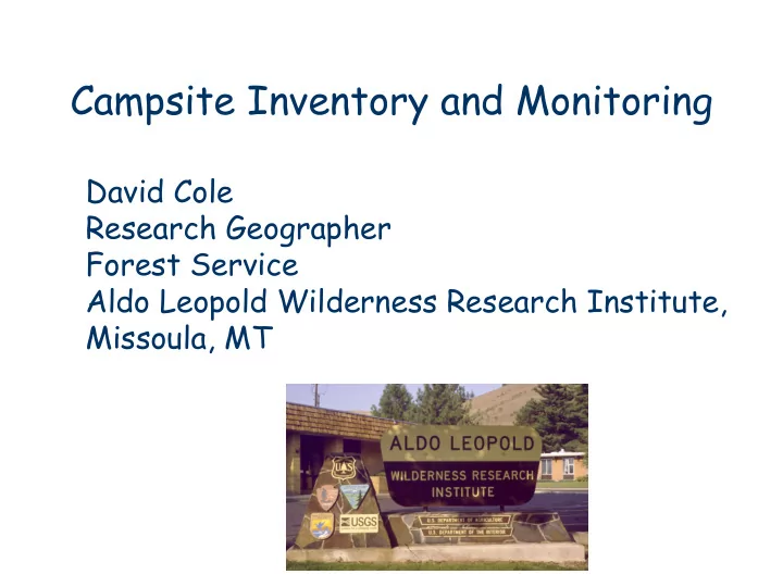
Campsite Inventory and Monitoring David Cole Research Geographer Forest Service Aldo Leopold Wilderness Research Institute, Missoula, MT Presentation Overview 1. Process for developing a campsite monitoring program 2. Alternative
– Number of sites – Frequency of measurements – Travel time between sites – Availability of volunteers
1979 1990
1984 2005 Turquoise
Class 1 Class 4 Class 3 Class 2
IMPACT EVALUATION ON CAMPSITE ON UNUSED COMPARATIVE AREA (19) VEGETATION COVER: 1 – 0-5% 3 – 26-50% 5 – 76-100% 1 – 0-5% 3 – 26-50% 5 – 76-100% (Be sure to compare similar 2 – 6-25% 4 – 51-75% 2 – 6-25% 4 – 51-75% areas, same species, slope, rockiness, and canopy cover) (20) MINERAL SOIL EXPOSURE: 1 – 0-5% 3 – 26-50% 5 – 76-100% 1 – 0-5% 3 – 26-50% 5 – 76-100% (Percent of area that is 2 – 6-25% 4 – 51-75% 2 – 6-25% 4 – 51-75% bare mineral soil) ___________________________________________________________________________________________________________________ Rating (Circle one category) Calculation of impact (21) VEGETATION LOSS: 1 2 3 _ index (do in office)__ (No difference (Difference one (Difference two or more in coverage) coverage class) coverage classes) (22) MINERAL SOIL INCREASE: (No difference (Difference one (Difference two or more in coverage) coverage class) coverage classes) (23) TREE DAMAGE: (No more than broken (1-8 scarred trees, or ( > 8 scarred trees, or > 3
lower branches) 1-3 badly scarred or badly scarred or felled) % of trees scarred or felled ____ (est.) felled) (24) ROOT EXPOSURE: (None) (1-6 trees with ( > 6 trees with roots
roots exposed) exposed) % of trees with roots exposed ____ (est.) (25) DEVELOPMENT: (None) (1 fire ring with or ( > 1 fire ring or other without primitive major development) log seat) (26) CLEANLINESS: (No more than (Remnants of > 1 (Human waste, much
scattered charcoal fire ring, some litter or manure) from 1 fire ring) litter or manure) (27) SOCIAL TRAILS: (No more than 1 (2-3 discernible, ( > 3 discernible or more
discernible trail)
than 1 well-worn) (28) CAMP AREA: ( < 500 ft2 ) ( 500 – 2000 ft2 ) ( > 2000 ft2 ) Estimated area ______ (ft2 ) (29) BARREN CORE CAMP AREA: ( < 50 ft2 ) ( 50 – 500 ft2 ) ( > 500 ft2 ) (30) PHOTO RECORD __________________ _____________________ (31) COMMENTS: (Details about location of site, impacts, management suggestions, etc. ) _______________________________________________________________________________ (32) IMPACT INDEX ________________ _____________________________________________________________________
Area (m 2) Sand (%) Rock (%) Bare (%) Veget (%) Litter (%) Mean 1996 1182 49 21 9 14 7 2002 1154 53 21 12 5 8 Median 1996 905 53 15 3 5 3 2002 837 59 16 3 3 3 # of Sites Decrease 4 1 2 5 2 Increased 6 1 2 2 Unchange 3 12 12 9 8 9 Signif. 0.52 0.09 0.52 0.37 0.08 0.69
1. Cole, David N. 1989. Wilderness campsite monitoring methods: a sourcebook. Forest Service General Technical Report INT- 259 2. Marion, Jeffrey L. 1991. Developing a natural resource inventory and monitoring program for visitor impacts on recreation sites: a procedural manual. National Park Service Natural Resources Report NPS/NRVT/NRR-91/06 3. The Minimum Recreation Site Monitoring Protocol—FS 10 Year Wilderness Challenge 4. Examples of forms, training manuals and electronic data gathering techniques
such as broken or cut smaller branches, 1 nail, or a few superficial trunk scars.
Numerous small trunk scars and nails or 1 moderate sized scar.
numerous and many that are large and have penetrated to the inner wood; any complete girdling of tree.