
SLIDE 1
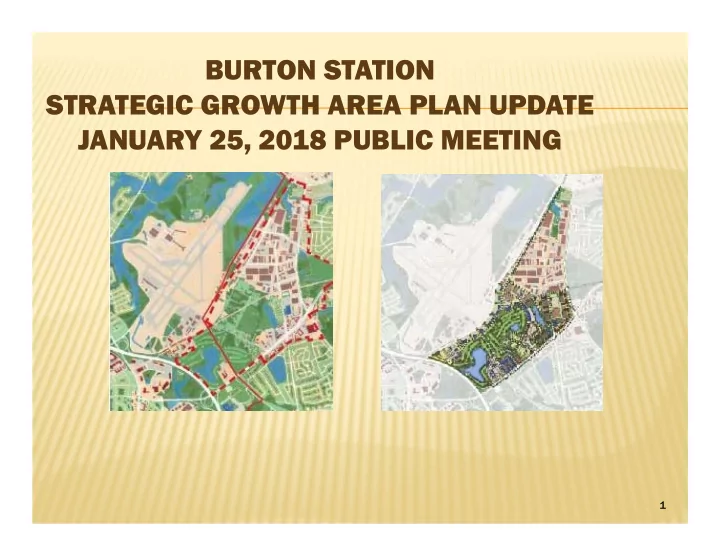
BURTON STATION STRATEGIC GROWTH AREA PLAN UPDATE JANUARY 25, 2018 PUBLIC MEETING
1
BURTON STATION STRATEGIC GROWTH AREA PLAN UPDATE JANUARY 25, 2018 - - PowerPoint PPT Presentation
BURTON STATION STRATEGIC GROWTH AREA PLAN UPDATE JANUARY 25, 2018 PUBLIC MEETING 1 PRESENTATION OUTLINE History of the Burton Station SGA Plan Changes since the Plan Adoption City Infrastructure Projects Update Roadways
1
2
3
31 existing homes 38 new single family
Corner shop Senior Living Facility Community Center Memorial Park Relocate Golf Course Truncate Burton Station
4
Things have changed –
No More Golf Course Outlet Mall Developed Road network
381-Unit Apartment
Airport Authority Re-
5
6
7
8
9
10
$1.5 million
Completion Early 2018
Spring 2018
Completion Fall 2018
11
12
Project Schedul Project Schedule/Cost
Design: May 2017 – Jun 2018 Construction: Aug 2018 – Nov 2019 Total CIP Funding $7,810,000
13
14
15
16
17
18
19
20
21
22
23
24