
SLIDE 1
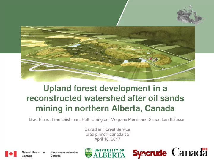
Upland forest development in a reconstructed watershed after oil sands mining in northern Alberta, Canada
Brad Pinno, Fran Leishman, Ruth Errington, Morgane Merlin and Simon Landhäusser Canadian Forest Service brad.pinno@canada.ca April 10, 2017