
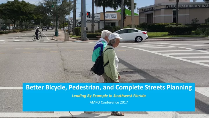
SLIDE 1
Better Bicycle, Pedestrian, and Complete Streets Planning
Leading By Example in Southwest Florida
AMPO Conference 2017
Better Bicycle, Pedestrian, and Complete Streets Planning Leading By - - PowerPoint PPT Presentation
Better Bicycle, Pedestrian, and Complete Streets Planning Leading By Example in Southwest Florida AMPO Conference 2017 Presenters Don Brad Ned Scott Davis Baier Lee County MPO Alta Planning + Design JACOBS Executive Director Senior
Better Bicycle, Pedestrian, and Complete Streets Planning
Leading By Example in Southwest Florida
AMPO Conference 2017
Presenters Don Scott
Lee County MPO Executive Director
Brad Davis
Alta Planning + Design Senior Planning Associate
Ned Baier
JACOBS Senior Project Manager
Topics to Cover
Plans
Context
water)
180,304
79%
Drive Alone
11%
Carpool
6%
Work From Home
Walk + Bike + Transit
1%
Other Means
Commute Mode Split
Putting Things In Place
Complete Streets Resolutions/Actions
adopted August 21, 2009
adopted November 10, 2009
adopted on October 3, 2011
Local Municipality Experience
Create Positive Policy Feedback Loops
Local + Regional Coordination
Establish Criteria to Accomplish Regional Goals
Active State, Regional, + Local Partners Engaged Bicycle and Pedestrian Advisory Committee Managed + Prioritized Project List
Create Positive Policy Feedback Loops
4 Miles
Presented by
Ned Baier | Project Manager
Fort Myers Beach BFC Designation
Five Es
Project Purpose
Town of Fort Myers Beach Bicycle and Pedestrian Plan
Priority Guidance Priority Documentation Reflect Community Needs Align Local, Regional, & State Plans Leverage Funding for Projects First Town Bicycle and Pedestrian Master Plan! Living, Evolving plan
Infrastructure: Major Attractions
Field Review
Walk Score
Location Walk score Notes
Treasure Island 55 Somewhat walkable. Some errands can be accomplished on foot. Anna Maria Island 55 St Pete Beach 51 Fort Myers Beach 48 Car-dependent, most errands require a car Tybee Island, GA 41 Naples 35 Longboat Key 34 Sanibel Island 27 Cape Coral 18 Car-dependent, almost all errands require a car. Edisto, SC 15 Indian River Shores 7
Source: walkscore.org
Trends: Fort Myers Beach Demographics
6.1% 2.0% 11.5% 35.0% 41.8% 3.6%
Age of Fort Myers Beach Residents
(% of population)
23.9% 6.5% 25.2% 27.0% 15.1% 2.3%
Age of Florida Residents
(% of population)
Under the age of 20 20 to 24 25-44 45-64 65 to 84 85 and oler
2010 Population 2015 Population (estimated) Fort Myers Beach 6,277 6,983 Florida 18,801,310 20,271,272
Goals
– Reduce bicycle/pedestrian crashes – Double walking, biking, and transit commute mode share to 22 percent
– 29 mile walkway network (12.6 miles currently; 16.5 miles proposed) – 14.8-mile on-street bikeway network (2.2 miles currently; 12.6 miles proposed)
– League of American Bicyclists
– Pedestrian and Bicycle Information Center
Recommendations
Infrastructure
Design Criteria
references Programs
Demand Management
BFC/WFC
Campaign
Policy
Coordination
Streets Policy
Policy
Standards
(dedicated set- aside)
The Coastal Loop
Lee MPO Proposal for Addition to the Southwest Coastal Regional Trail
direct inland primary spine
facilitate bike tourism and remains true to the central theme of this regional trail
exists, is programmed, or currently under construction
coalition support to add the Coastal Loop to the Southwest Coastal Regional Trail
and crossings
JYLP: Project Purpose
JYLP: Project History
Parkway (south)
JYLP: Study Area
(east)
Canal ROW line (west)
Looking North Looking South
Winkler: Project History
Winkler: Project Need
Orangewood Elementary School
Jefferson Park Fort Myers Country Club Princeton Street
Winkler: Study Area