august 8 2013 collins center crtc alpena
play

August 8, 2013 Collins Center, CRTC, Alpena Name Organization - PowerPoint PPT Presentation

August 8, 2013 Collins Center, CRTC, Alpena Name Organization Title Rick Carlson MDOT Aeronautics Chairman Tom Mullaney Alpena County 1 st Vice-Chairman 2 nd Vice-Chairman Aaron Cook Northwestern Michigan College Vikki Kulju Upper


  1. August 8, 2013 Collins Center, CRTC, Alpena

  2. Name Organization Title Rick Carlson MDOT Aeronautics Chairman Tom Mullaney Alpena County 1 st Vice-Chairman 2 nd Vice-Chairman Aaron Cook Northwestern Michigan College Vikki Kulju Upper Michigan Green Aircraft Coalition Secretary Aaron Johnson MEDC Treasurer Beth Seiler Western Michigan University Board Member Cameron Habermehl Alpena County Board Member Colin Brooks Michigan Tech Board Member Gavin Brown Michigan Aerospace Manufacturers Association Board Member George Kiefer GE Aviation Board Member Gerald Lane AUVSI Great Lakes Chapter Board Member John Kinsey University of Michigan Board Member Ron Moffett Michigan National Guard Board Member Valde Garcia Wyle Board Member

  3. UAV: Intelligent systems! Drone: Simple targets…

  4. Market Potential & Diversification Opportunity for MI “Unmanned Aircraft Systems (UASs) and Remotely Piloted Aircraft (RPA) have seen a golden age in the last decade growing to an annual budget of $7 billion. Most of this growth has been through the wars in Iraq and Afghanistan, but with the drawing down of troops, what’s next? Analysts still predict growth in this industry, estimating a total increase to just over $89 billion in the next decade. Not only is the military expected to sustain its backing of UAS technology, but the civil and commercial markets are poised to open up to a host of opportunities for the industry ”

  5. Applications Markets Homeland Security - Emergency evaluation - Criminal apprehension support - Border and maritime monitoring - Monitoring of waterways and shipping - Aerial Reconnaissance - Maritime and Mountain Search and Rescue - Crop management and Crop dusting Land Management - Disaster damage estimation - Rescue and clear up effort supervision - Exploration, mining and geological statements Commercial - Publicity, media relay - Pipeline Monitoring - Power line Monitoring - Telecommunications - Infrastructure Inspection and Management Earth Science - Weather and environmental monitoring - Management of animal life, flora and forests - Geophysical surveys - Pollution Control and Air Sampling

  6. Industry AcroMag Michigan Aerospace Corporation Adaptive Materials Mahle Powertrain Baker Engineering Merrill Aviation Bergen RC Helicopters PPI Aerospace Braintech Inc. Quantum Signal Detroit Aircraft Corp Ricardo Ford Motor Company Reactor Zero GE Aviation Sierra Nevada Corporation Ilmor Engineering Technical Directions, Inc. GE Fanuc Intelligence Platforms Williams International

  7. Academia University of Michigan Western Michigan University Michigan Tech Research Institute Northwestern Michigan College Central Michigan University Kettering University Alpena Community College

  8. Airspace & Infrastructure • The airport is host to one of only four Combat Readiness Training Centers (CRTC) across the USA. • Access to the Alpena Combat Readiness Training Center (CRTC) provides us with an integrated, 
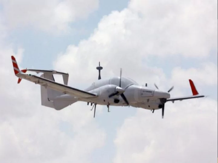
year-round, realistic training environment. • operational flexibility, the required infrastructure, proximity to available airspace and diversified testing capabilities to UAS organizations. • The airspace over Alpena and Grayling is vast, and regroups seven (7) Military Operating Airspaces (MOA), in addition to three (3) Restricted Operating Airspaces. • The CRTC is also equipped with the latest DASR 11 radar, enabling air traffic controllers to see and track the smallest UAS over the Alpena region providing a safe airspace for all manned and unmanned aircraft. • Runways, hangar and other facilities to accommodate all type of UAS.

  9. • Spring 2011 – Under the leadership of the Alpena County Regional Airport, the county of Alpena and local economic development organizations, the region decided to move forward with plans to strategically position its regional airport and develop an industry. • Summer/Fall 2011 – Market analysis and validation of the UAS cluster concept with industry stakeholders. • On February 15, 2012, more than thirty-five (35) organizations attended the first steering committee meeting, and endorsed the development plan and cluster concept. • March 2012 - the FAA announced its interest to integrate UAS into the national airspace by 2015, and to designate six (6) official test sites. • July 23-25, 2012 - 2nd steering committee regrouping 25 political and community leaders. The decision was made to be a strong proponent for the FAA Screening Information Request (SIR), and to prepare a Concept of Operations (CONOPS), to support commercial flight-test activities.

  10. • August 4-7, 2012 - AUVSI Conference in Las Vegas, Nevada. We attended the event, advocated for the Michigan initiative, and established important business contacts. • August 11, 2012 - Resolution passed at the Michigan State Senate, supporting the UAS initiative. • September 15, 2012 - Official endorsement by Michigan's Governor's Office. • November 1, 2012 - Official endorsement by Michigan's Army National Guard. • November 15, 2012- Creation of the cluster's Board of Directors.  December 2012 - The project was renamed MIAASC, and regrouped six (6) local airports: two (2) located in central Michigan, two (2) others in south Michigan, with the remaining two (2) located in the Upper Peninsula.

  11. MIAASC is a not-for-profit and industry- driven organization that brings together industry leaders, educational and research institutions, government agencies and industry associations that contribute towards the development of unmanned aerial systems in Michigan and across the country.

  12. Board of Directors CEO Management Team Mkt & Strategic Community Innovation Human Resources Supply Chain Planning Advisory Committee Committee Committee Committee Committee CLUSTER TEST CENTER

  13. Our mission is to foster a favorable environment while supporting the development of the unmanned vehicles supply chain and contributing to the accelerated growth of the industry for both the commercial and military sectors. MIAASC intends to make of this industry, a source of continuous growing wealth for the state of Michigan, the Great Lakes region, and the United States as a whole .

  14. MIAASC test center provides you with a MIAASC is not only the best location for turnkey solution for your UAS your flight-test activities, it is also an operations: competitive hourly access integrated cluster for the unmanned fees to our airspace, equipment and UAS aerial systems industry. MIAASC’s cluster rental, pilot, ground, and technical structure encompasses the whole UAS support; FBO services, and an value chain: R&D, flight-test activities, experienced team of professionals to aerial operations, training and education, assist you with rules & regulation issues, think tank and manufacturing. and other consulting needs.

  15. Alpena: The airport is owned and operated by Alpena County, and is located five minutes west of the city of Alpena, in a remote area, easily accessible by Highway M-32. The Airport offers two runways: 1/19 (9001 ft x 150 ft) and 7/25 (5028 ft x 100 ft). Grayling: Grayling Army field is owned and operated by the US Army. The Army National Guard manages its two restricted airspace areas - R-4201A and R- 4201B. The airport is situated at 1158 ft. above Mean Sea Level (AMSL) in elevation and offers two good runways: Runway 5/23 (5,000 feet concrete) and Runway 14/32, (5,000 feet asphalt covered). Infrastructure to support collaborative UGV & UAV operations. Antrim: Located in the northwestern corner of Lower Michigan, the Antrim Regional Airport is owned and operated by Antrim County and will be a part of our NCTR complex. A COA will be required to fly at this location. 100LL, Jet A Fuel, and repairs are available. The airport is situated at 623 ft. AMSL. Runway 02/20 is asphalt, 4999 ft. x 100 ft. Yuba: Four miles south of Elk Rapids, and next to the fresh water bay of Grand Traverse, Yuba airport is a privately owned airport, currently closed to all commercial traffic. The airport is situated at 645 ft. AMSL and has one turf runway: Runway 18/36, 2975 ft. x 100 ft.

  16. • Large airspace complex - Allows up to 200 flights simultaneously, making it the perfect location for dissimilar aircraft operations at different altitudes. • Altitude ranging from 0 to 50,000 ft. - Capacity to support high altitude and high speed flights, with an airspace complex of 20,000 sq. miles, within a 600-mile perimeter. • Uncongested flying area - Very limited civilian flights and low populated areas for ideal flight testing conditions. • Airspace over fresh water - Miles of open Great Lakes freshwater within the test range makes it the perfect location for joint air and marine UAS research & operations.

  17. • Four season location and a diversified terrain - The climatic diversity of the test range provides a variety of environments for test-flights and data collection. • Cross-border activities - Airspace complex located next to the Canadian border with access to a cross-border Military Operating Airspace (MOA). Potential to perform joint training. • Infrastructure & Equipment – Equipped with the latest radar system (DASR-11) to ensure safe flight and operations, our test site locations offer state-of-the-art infrastructure and all the amenities to support UAS operations.

Download Presentation
Download Policy: The content available on the website is offered to you 'AS IS' for your personal information and use only. It cannot be commercialized, licensed, or distributed on other websites without prior consent from the author. To download a presentation, simply click this link. If you encounter any difficulties during the download process, it's possible that the publisher has removed the file from their server.

Recommend


More recommend