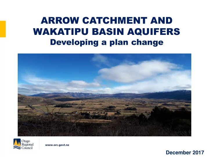

ARROW CATCHMENT AND WAKATIPU BASIN AQUIFERS Developing a plan change December 2017
About ▪ Overview ▪ What we heard last time ▪ Background ▪ The options ▪ Upcoming consultation ▪ Where to next
Arrow catchment and Wakatipu Basin aquifers
Community Community values values ▪ Most common: ▪ Recreation use (including fishing, swimming, walking, cycling) ▪ Physical and visual character ▪ Water supply for community and irrigation use ▪ Other points ▪ Environmental bottom line as a starting point ▪ Low flows could impact negatively on recreation values
The pr he process ocess 1. Consultation on values 2 Reports on surface water, instream habitat and groundwater 3. Identify options for the plan change 4. Identify social and economic effects of options 5. Consultation on options 6. Identify preferred option and draft the plan change 7. Consultation on the draft plan change 8. Notify the plan change and seek submissions 9. Hearing 10. Commissioner deliberations 11. Plan change decision 12. Resolve any appeals
Options Options Consulta Consultation tion ▪ Options development, has considered: ▪ Values consultation ▪ Scientific and environmental analysis ▪ Cultural values assessment ▪ Economic and social analysis on options ▪ Seeking feedback on a preferred option
The he Ar Arrow w Ca Catc tchme hment nt – Surf Surfac ace e Wate ter r Photo courtesy of Arrow Irrigation Company
The Ar he Arrow w ca catc tchment hment ▪ Flow statistics: ▪ Flowing river that does not dry naturally. ▪ Flows are highest from May to Nov and lowest Jan to April. ▪ Naturalised 7-day Mean Annual Low Flow (MALF) is 1.43-1.44 m 3 /s)
The Ar he Arrow w ca catc tchment hment Water takes: Number of Number of Consented Actual Takes consented deemed allocation takes permits 2.03m 3 /s 0.596 m 3 /s 22 14
The Ar he Arrow w ca catc tchment hment Habitat modelling for the following values was undertaken: ▪ Native fish – single record of Koaro. ▪ Trout ▪ both brown and rainbow trout ▪ locally significant sports-fish habitat. ▪ Periphyton ▪ Food production (invertebrates)
Flow requirements to maintain instream values Instream Value Season Recomm. % of Flow to maintain Flow below Optimum flow habitat suggested which habitat (l/s) retention habtitat retention rapidly declines (l/s) (l/s) Adult trout All year 70% 553 - 1,600 Juvenile trout All year 70% 198 500 900 Brown trout – Winter 70% 44 400 600 spawning Rainbow trout – All year 70% 127 400 600 spawning Food producing All year 70% 392 600 900 Avoid Long Summer <150% >755 800 - Filamentous algae
Minimum Flow Options
Primar Primary y Alloca Allocation tion Options Options
Waka akati tipu B pu Basin asin Aqui Aquifer ers
Ar Arrow w Bush Bush Rib Ribbon, bon, Kaw Kawar arau au & & Shot Shotover er Alluvial Alluvial Rib Ribbon bon Aquif Aquifer ers Source : F. Richard Hauer et al. Sci Adv 2016;2:e1600026 ▪ Aquifers located in alluvium and interacting with the associated river. ▪ In the Water Plan groundwater takes allocated to the surface water body/connected river.
Wak akatipu tipu Bas Basin in aq aquif uifer ers s – Sur Surfac ace e wate ter r ▪ Arrow-Bush Ribbon aquifer ▪ Shotover Alluvial Ribbon aquifer ▪ Kawarau Alluvial Ribbon aquifer
Other Waka Other W akatipu Basin tipu Basin Aquif Aquifer ers ▪ Upper Mill Creek ▪ Frankton Flats ▪ Mid Mill Creek ▪ Speargrass – Hawthorn ▪ Morven ▪ Fitzpatrick ▪ Windemeer / Ladies Mile These aquifers: ▪ Unconfined Aquifers located in river deposits and glacial outwash. ▪ Functioning independently. ▪ Two main recharge sources: rainfall and rivers / streams.
Allocation Alloca tion Limits Limits Aquifers Water Volumes (Mm3) Groundwater Groundwater Consented Available Maximum Allocation Groundwater Takes Value 0.105 0.058 0.047 Fitzpatrick Aquifer 0.210 0.210 Frankton Aquifer Windemeer / Ladies Mile 0.240 0.138 0.102 Aquifer 0.510 0.016 0.494 Mid Mill Creek Aquifer 0.185 0.010 0.175 Morven Aquifer 0.230 0.041 0.189 Speargrass-Hawthorn Aquifer 0.785 0.022 0.763 Upper Mill Creek Aquifer
Allo Alloca cation tion limit limit Optio ptions ns
Social a Social and Economic nd Economic Assessments Assessments ▪ Social ▪ Two Focus groups ▪ Existing flows acceptable for landscape, scenic and recreation values. ▪ Support for the use of water for tourism and recreation. ▪ Reluctance to explore additional water takes. ▪ Economic ▪ Considerable value attributed to amenity and tourism. ▪ Difficult to monetise the value water availability.
Format of Today’s Session ▪ Opportunity for Q and A ▪ Discussion to learn more about the options and identify issues and concerns ▪ Opportunity to provide feedback on preferred option.
Ho How can y w can you ou pr provide vide feedbac eedback? k? ▪ Provide your feedback today ▪ Fill in a feedback form (email or post) ▪ Fill in an on-line feedback form ▪ Feedback is required by Friday 26 January 2017
Ne Next steps xt steps ▪ Review and summarise feedback. ▪ Finalise our assessment of the options. ▪ Identify a preferred option. ▪ Prepare draft plan change. ▪ Community and stakeholder consultation in April 2018
Thank-you
Recommend
More recommend