
SLIDE 1
Arizona Canal Multi-use Path Public Process Current Design Process - - PowerPoint PPT Presentation
Arizona Canal Multi-use Path Public Process Current Design Process Public Meeting #1 - December 6, 2012 Public Meeting #2 - May 1, 2013 Field Walk May 3, 2013 Previous Involvement Originally designated in 1965 as part
Current Design Process
Previous Involvement
general plan in 1966.
improvement plan and annual budget
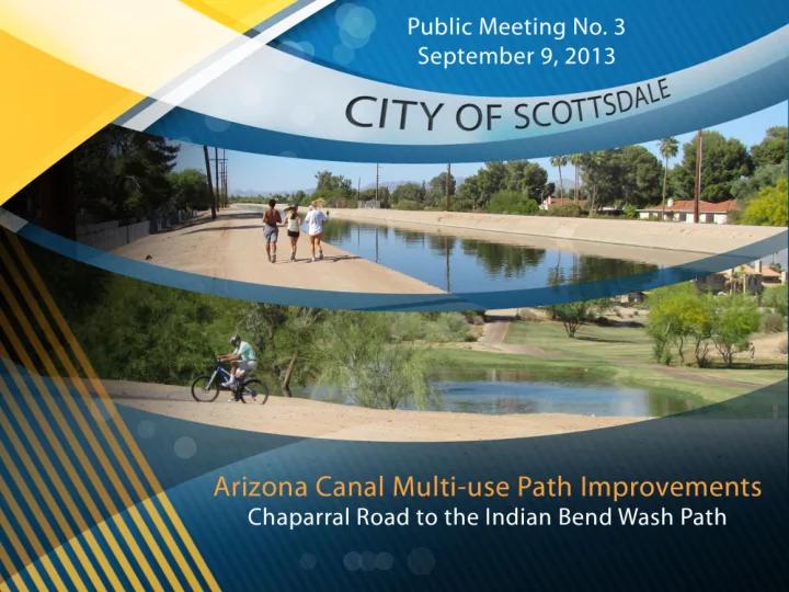
September 19 Transportation Commission Mtng. September 9 Public Meeting
Initial Recommendation
Alignment
October 2013 Public Meeting November 2013 Transportation Commission Mtng. Spring 2014 Public Meeting City Council Award
Contract Construction Final Design Formalization
Alignment
Summer 2013 Additional Technical Analysis
Arizona Canal Multiuse Path Public Process
Spring 2014 Design Review Board
Option 1
Option 2
Surface Area The level surface of the bank is generally 30-feet to 40-feet wide.
There is sufficient room for continuous unpaved path. The level surface of the bank is generally 12-feet to 20-feet wide. There is insufficient room for a continuous 5-foot unpaved path.
Safety
Must modify city’s standard design guidelines for paths at one constrained area. (approximately 250 feet) Must modify the city’s standard design guidelines for paths at three constrained areas. (approximately 900 feet)
Visibility
McDonald Drive crossing has reduced visibility/sight distance McDonald Drive crossing has enhanced visibility/sight distance
Canal Crossing
The path from Chaparral to Jackrabbit can’t be built on the east
require path users to cross the canal at Jackrabbit to stay on the concrete path. Path users will stay on the west side of the canal bank continuously from Indian Bend to Camelback when the future segment is built from Camelback to Chaparral.
Access Points Multiple access points to the concrete path from adjacent
Location eastbound, San Miguel Avenue, Topaz Subdivision, Villas Antigua Condominiums, Club Scottsdale Condominiums, Lincoln Alignment Limited access points to the concrete path from adjacent properties due to a fenced concrete drainage channel between the canal and the properties. There are 3 Access Points: Jackrabbit Access Location westbound, Lincoln Sidewalk, Sidewalk south of Silverado Parking Lot
Neighbors
Canal bank grade is higher than adjacent homes and there are greater number of residences. Canal bank grade is similar in height to adjacent homes/properties and there are fewer residences.
Buffer/ Landscaping
The concrete path is closer to homes. There is more space for vegetation for visual screening and erosion control. There is a greater distance between the concrete path and adjacent homes. There is less space for vegetation.
Project Partner Coordination
SRP uses the east bank to perform ongoing maintenance on the canal. This option would require the use of an existing path managed by the Flood Control District of Maricopa County.
Overall Cost & Materials
North of Lincoln, concrete path would be needed even though there’s an existing asphalt path adjacent to the west bank. This
North of Lincoln, an existing asphalt neighborhood path can be utilized, so a concrete path won’t be added to the canal bank. Approximately 1,600 LF less concrete pathway. This option would cost less than option 1.
Jody Pinto Past Projects
Chaparral Road Jackrabbit Road McDonald Drive Lincoln Drive Indian Bend Road Camelback Road Indian School Road
Chaparral Road Indian School Road Camelback Road Jackrabbit Road McDonald Drive Lincoln Drive Indian Bend Road