SLIDE 13 Lesson 25
Example 2. Using Geocoder
Reference http://developer.android.com/reference/android/location/Geocoder.html
Background - Geocoder Class
Public Methods
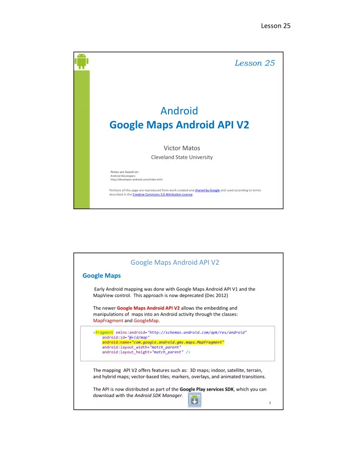
Google Maps Android API V2
List<Address> getFromLocation (double latitude, double longitude, int maxResults) Returns an array of Addresses that are known to describe the area immediately surrounding the given latitude and longitude. List<Address> getFromLocationName (String locationName, int maxResults, double lowerLeftLatitude, double lowerLeftLongitude, double upperRightLatitude, double upperRightLongitude) Returns an array of Addresses that are known to describe the named location, which may 25 25 25 25 be a place name such as "Dalvik, Iceland", an address such as "1600 Amphitheatre Parkway, Mountain View, CA", an airport code such as "SFO", etc.. List<Address> getFromLocationName (String locationName, int maxResults) Returns an array of Addresses that are known to describe the named location, which may be a place name such as "Dalvik, Iceland", an address such as "1600 Amphitheatre Parkway, Mountain View, CA", an airport code such as "SFO", etc..
Example 2. Using Geocoder
Background - Address Class
http://www.oasis-open.org and http://developer.android.com/reference/android/location/Address.html
A class representing an Address, i.e, a set of Strings describing a location. The address format is a simplified version of xAL (eXtensible Address Language)
Google Maps Android API V2
The address format is a simplified version of xAL (eXtensible Address Language) Useful Methods
getAddressLine(int index) Returns a line of the address numbered by the given index (starting at 0), or null if no such line is present. getAdminArea() Returns the administrative area name of the address, for example, "CA", or null if it is unknown getCountryCode() Returns the country code of the address, for example "US", or null if it is unknown. getCountryName() Returns the localized country name of the address, for example "Iceland", or null if it is unknown.
26 26 26 26
getFeatureName() Returns the feature name of the address, for example, "Golden Gate Bridge", or null if it is unknown getLatitude() Returns the latitude of the address if known. getLocale() Returns the Locale associated with this address. getLongitude() Returns the longitude of the address if known. getMaxAddressLineIndex() Returns the largest index currently in use to specify an address line.