SLIDE 1
Weather Outlook for Spring and Summer in Central TX
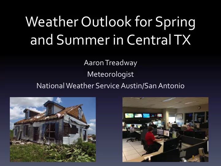
Aaron Treadway Meteorologist National Weather Service Austin/San Antonio
SLIDE 2 Outline
- A Look Back At 2014
- Spring 2015 So Far
- El Niño Update
- Climate Prediction Center Outlooks
- 2015 Atlantic Hurricane Season
SLIDE 3
SLIDE 4 Austin Mabry & Bergstrom
- Bergstrom went 41 days without rain (7/25-9/3)
- 7th longest period since 1942 (record: 64 days in 1993)
- Camp Mabry was only climate site that had above normal rain due
to heavy rain event night of 7/17-7/18 (over 5”)
- Over half of our rainfall in 2014 at both Camp Mabry and Bergstrom
- ccurred in five events lasting 3 days or less!
Austin Mabry:
- 1. 5.36” (7/16-7/18)
- 2. 4.14” (9/17-9/19)
- 3. 3.67” (11/20-11/22)
- 4. 3.53” (5/12-5/14)
- 5. 2.11” (11/4-11/6)
18.81” of 35.53” (52.9%)
Austin Bergstrom:
- 1. 4.34” (5/12-5/14)
- 2. 3.72” (11/20-11/22)
- 3. 3.05” (5/27-5/28)
- 4. 2.85” (11/4-11/6)
- 5. 2.05” (9/17-9/19)
15.99” of 29.47” (54.3%)
SLIDE 5 Location Average Temp Normals Difference Austin Bergstrom 66.9° 67.2°
Austin Mabry 69.0° 69.3°
San Antonio 70.4° 69.4° +1.0° Del Rio 70.9° 70.5° +0.4° Location Average Max Temp Normal Max Temp Difference Austin Bergstrom 79.2° 79.7°
Austin Mabry 79.2° 79.7°
San Antonio 81.1° 80.2° +0.9° Del Rio 82.1° 81.6° +0.5° Location Average Min Temp Normal Min Temp Difference Austin Bergstrom 54.7° 54.8°
Austin Mabry 58.3° 58.9°
San Antonio 59.7° 58.6° +1.1° Del Rio 59.8° 59.2° +0.6°
SLIDE 6 2014 – 36th Warmest 75th Coldest 2014 – 55th Warmest 6th Coldest
SLIDE 7
2014 Drought Monitor
SLIDE 8
Flash Flooding
SLIDE 9
SLIDE 10
SLIDE 11
SLIDE 12
2015 Climographs
SLIDE 13
2015 Precipitation So Far
SLIDE 14
Current Drought Monitor
SLIDE 15
SLIDE 16
SLIDE 17
April 12th – April 19th
SLIDE 18
SLIDE 19
SLIDE 20
SLIDE 21 Why may help be on the way?
El Niño Conditions La Niña Conditions
Latest Weekly SST Departures: 1.3oC 0.8oC 0.9oC 1.3oC
- Warmer than normal sea surface temps (SSTs) in Pacific
SLIDE 22 Oceanic Niño Index (ONI)
- ONI is based on SST departures from average in
the Niñ0 3.4 region.
- 3 Month running-mean SST departure
- Definitions
– For El Niño: Positive ONI greater than or equal to +0.5ºC – For La Niña: Negative ONI less than or equal to -0.5ºC
0.9oC
SLIDE 23 ONI Evolution Since 1950
El Niño La Niña
Neutral
SLIDE 24 El Niño Conditions Present!
- Approx. a 70% Chance that El Nino
Conditions will Continue through summer 2015, and a greater than 60% chance it will last through autumn.
Normal (“Neutral”) Conditions El Niño Conditions
SLIDE 25
- El Niňo typically causes subtropical jet to be active over southern
U.S. and polar jet to be displaced to the north
El Niño Winter “Teleconnections”
Subtropical jet
“Teleconnections” are statistical linkages between changes
- ccurring in widely separated regions
SLIDE 26
- El Niňo typically causes South Central Texas to be wetter and cooler
than normal more than half of the time!
El Niño Winter “Teleconnections”
Subtropical jet
10-50% wetter than normal Trend Holds ~50% of the time 1-2oC cooler than normal Trend holds ~75% of the time
SLIDE 27
El Niño Conditions Continue!
SLIDE 28 El Niño 3.4 SST Model Outlook
Figure provided by the International Research Institute (IRI) for Climate and Society (updated 14 April 2015).
The majority of the models indicate Niño 3.4 SST anomalies will remain greater than or equal to +0.5C through the end
SLIDE 29 The NCEP CFS.v2 ensemble mean (black dashed line) predicts El Niño through NDJ 2015-16.
El Niño Conditions Continue!
SLIDE 30
6-10 Day Outlook
SLIDE 31
8-14 Day Outlook
SLIDE 32
May 2015
SLIDE 33
May / June / July Outlook
SLIDE 34
April Drought Outlook
SLIDE 35
April 16th – July 31st Drought Outlook
SLIDE 36
2014 Hurricane Outlook
Actual 8 6 2
MAY 8-13 3-6 1-2
SLIDE 37 Named Hurricanes Major Average (1981-2010) 12.1 6.4 2.7 Record High 28 (2005) 15 (2005) 7 (2005) Record Low 4 (1983*) 2 (2013*) 0 (2013*) *Last Year this Occurred
Normal and Record Activity
SLIDE 38
SLIDE 39 Tropical Storm Risk
ACE Major Hurricanes Hurricanes Tropical Storms December Forecast 79 (± 58) 2 (± 2) 6 (±3) 13(±4) April Forecast 56 2 5 11
- Two Professors in the Department of Science and Climate Physics at University College
London, UK
- ACE – Accumulated Cyclone Energy – wind energy index.
- Reasons for Below Normal Season:
- Suppression of trade winds over the Caribbean and North Atlantic
- ENSO Neutral Conditions (not the current ENSO forecast)
- They note high uncertainty in their trade winds and SST forecasts
SLIDE 40 Colorado State University
Major Hurricanes Hurricanes Tropical Storms April Forecast 1 3 7
- Philip J. Klotzbach and William M. Gray
- “One of the least active seasons since the middle of the 20th Century”
- Reasons For Forecast:
- Moderate Strength El Niῆo
- Negative Atlantic Multidecadal Oscillation (AMO)
- Positive North Atlantic Oscillation (NAO)
- Strong Atlantic Subtropical High & Strengthened Trade Winds
SLIDE 41 NAO Hurricane Teleconnections
- Subtropical high shifted to north and
east (hurricanes recurve farther east)
- More East Coast landfalls (although
most out to sea)
NAO Negative Phase
Azores Iceland
- Subtropical high shifted to south and
west (hurricanes blocked from recurving to the north)
- More Gulf Coast landfalls
NAO Positive Phase
SLIDE 42
- A Decreased Number of Storms in the
Atlantic Basin
- Storms affected by atmospheric circulation,
largely through the vertical wind shear profile.
– Increased vertical wind shear due to increases in westerly winds aloft.
El Niῆo Hurricane Teleconnections
http://www.aoml.noaa.gov/hrd/Landsea/lanina/
SLIDE 43
El Niῆo Hurricane Teleconnections
SLIDE 44
ENSO Hurricane Influence El Niño vs La Niña
SLIDE 45 North Carolina State University
Major Hurricanes Hurricanes Named Storms April Forecast 1 3 6
- Dr. Lian Xie, Professor of Marine, Earth and Atmospheric Sciences
- “Significantly less active than the overall averages from 1950 to present”
- “Evaluates more than 100 years of historical data on Atlantic Ocean hurricane positions
and intensity, as well as other variables including weather patterns and sea-surface temperatures, to predict how many storms will form in each ocean basin.”
- Reminder that it only takes one landfalling storm to create loss of life and property…see
Hurricane Andrew (quiet 1992 Hurricane Season)
SLIDE 46 Spotter Phone: 800-292-5508 Website: weather.gov/austin or mobile.weather.gov Facebook: NWSSanAntonio Twitter: @NWSSanAntonio