
SLIDE 1
Rakesh Kumar Rakesh Kumar Mishra Mishra
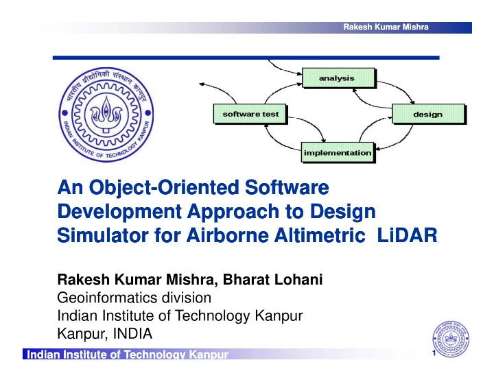
An Object An Object-
- Oriented Software
Oriented Software Development Approach to Design Development Approach to Design Development Approach to Design Development Approach to Design Simulator for Airborne Altimetric LiDAR Simulator for Airborne Altimetric LiDAR
Rakesh Kumar Mishra, Bharat Lohani Geoinformatics division I di I tit t f T h l K
Indian Institute of Technology Kanpur Indian Institute of Technology Kanpur
1
Indian Institute of Technology Kanpur Kanpur, INDIA