
SLIDE 1
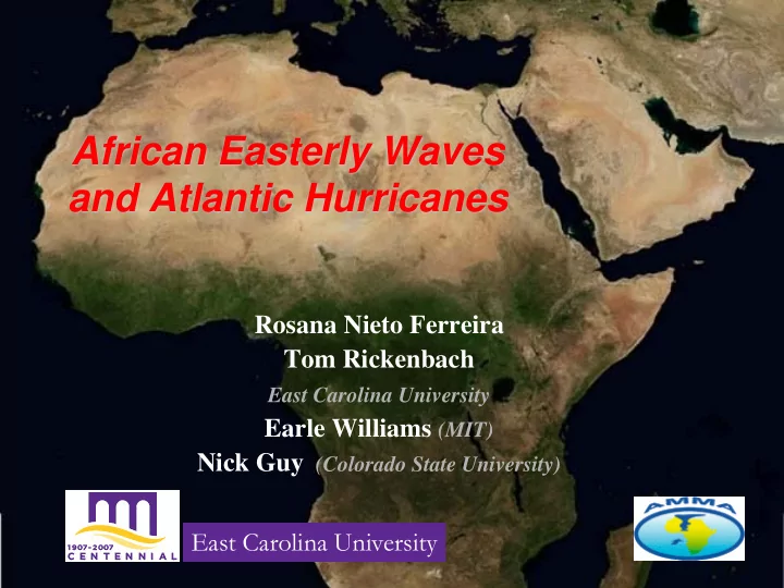
African Easterly Waves and Atlantic Hurricanes
Rosana Nieto Ferreira Tom Rickenbach
East Carolina University
African Easterly Waves and Atlantic Hurricanes Rosana Nieto - - PowerPoint PPT Presentation
African Easterly Waves and Atlantic Hurricanes Rosana Nieto Ferreira Tom Rickenbach East Carolina University Earle Williams (MIT) Nick Guy (Colorado State University) East Carolina University Connections: African Sahel and North Carolina
East Carolina University
Drought Niger, West Africa Floyd aftermath Greenville, NC
Hurricane Floyd (1999)
the coast of Africa on September 2 Hurricane Dennis (1999)
left the coast of Africa on Aug 17
Dennis
Dennis Floyd AEW
Dennis Floyd AEW
Dennis Floyd AEW
Floyd AEW
Floyd AEW
Floyd
Floyd
Floyd
Floyd
Floyd Gert
Floyd Gert
Floyd Gert
Floyd Gert
Floyd Gert
Floyd Gert
Floyd Gert
Gert
AEJ Rain Rain
AEJ
Formation Mechanisms
between warm Sahara and cool Gulf of Guinea
convection
(e.g., Carson 69, Burpee 74, Rennick 77, Mass 77, Reed et al 77, Norquist 77, Thorncroft and Hoskins 94)
Sahara Desert ITCZ Rain
10 N 20 N 30 N EQ 600 200
Pressure (mb)
Latitude ITCZ Sahara Air Layer
African Easterly Jet
1999
~20 AEW passed through Niamey 8 of 12 Atlantic Tropical Cyclones Formed in African Easterly Waves including Hurricanes Dennis and Floyd
1999 700 mb Relative Vorticity – Africa (5N-15N)
West African Coastline 20W
2006 GPCP 1dd Rainfall - Niamey 2006 GPCP 1dd Rainfall - Abuja
Abuja, Nigeria Niamey, Niger
At the peak of the rainy season (JAS),
2006 Total : 410 mm 2006 Total : 1436 mm
At the peak of the rainy season (JAS),
2006 700 mb Relative Vorticity, Africa (5N-15N)
2006
~21 AEW passed through Niamey 7 of 8 Atlantic Tropical Cyclones Formed in African Easterly Waves including Hurricane Ernesto and Tropical Storm Alberto that affected NC
MIT Radar - Niamey, Niger, West Africa Squall line precursor to Hurricane Helene
8 September 2006
MIT Radar - Niamey, Niger, West Africa Squall line precursor to Hurricane Helene
8 September 2006
MIT Radar - Niamey, Niger, West Africa Squall line precursor to Hurricane Helene
8 September 2006
MIT Radar - Niamey, Niger, West Africa Squall line precursor to Hurricane Helene
8 September 2006
MIT Radar - Niamey, Niger, West Africa Squall line precursor to Hurricane Helene
8 September 2006
MIT Radar - Niamey, Niger, West Africa Squall line precursor to Hurricane Helene
8 September 2006
MIT Radar - Niamey, Niger, West Africa Squall line precursor to Hurricane Helene
8 September 2006
MIT Radar - Niamey, Niger, West Africa Squall line precursor to Hurricane Helene
8 September 2006
MIT Radar - Niamey, Niger, West Africa Squall line precursor to Hurricane Helene
8 September 2006
MIT Radar - Niamey, Niger, West Africa Squall line precursor to Hurricane Helene
8 September 2006
MIT Radar - Niamey, Niger, West Africa Squall line precursor to Hurricane Helene
8 September 2006
MIT Radar - Niamey, Niger, West Africa Squall line precursor to Hurricane Helene
8 September 2006
MIT Radar - Niamey, Niger, West Africa Squall line precursor to Hurricane Helene
8 September 2006
MIT Radar - Niamey, Niger, West Africa Squall line precursor to Hurricane Helene
8 September 2006
MIT Radar - Niamey, Niger, West Africa Squall line precursor to Hurricane Helene
8 September 2006
MIT Radar - Niamey, Niger, West Africa Squall line precursor to Hurricane Helene
8 September 2006
MIT Radar - Niamey, Niger, West Africa Squall line precursor to Hurricane Helene
8 September 2006
MIT Radar - Niamey, Niger, West Africa Squall line precursor to Hurricane Helene
8 September 2006
MIT Radar - Niamey, Niger, West Africa Squall line precursor to Hurricane Helene
8 September 2006
MIT Radar - Niamey, Niger, West Africa Squall line precursor to Hurricane Helene
8 September 2006
MIT Radar - Niamey, Niger, West Africa Squall line precursor to Hurricane Helene
8 September 2006
MIT Radar - Niamey, Niger, West Africa Squall line precursor to Hurricane Helene
8 September 2006
MIT Radar - Niamey, Niger, West Africa Squall line precursor to Hurricane Helene
8 September 2006
MIT Radar - Niamey, Niger, West Africa Squall line precursor to Hurricane Helene
8 September 2006
MIT Radar - Niamey, Niger, West Africa Squall line precursor to Hurricane Helene
8 September 2006
MIT Radar - Niamey, Niger, West Africa Squall line precursor to Hurricane Helene
8 September 2006
MIT Radar - Niamey, Niger, West Africa Squall line precursor to Hurricane Helene
8 September 2006
MIT Radar - Niamey, Niger, West Africa 8 September 2006
(Rickenbach et al. 2009, GRL)
(Nieto Ferreira et al. 2009, MWR)
700 mb relative vorticity (contours), winds and rainfall (shaded)
Stratiform Rain Fraction Convective Rain Fraction Northern 47% 53% Southern 35% 65%
WET WET DRY