
SLIDE 1
Addressing Threats from Addressing Threats from Abandoned Mines in California Abandoned Mines in California Communities Communities
Randy Adams, C.E.G. Randy Adams, C.E.G.
California Environmental Protection Agency California Environmental Protection Agency Department of Toxic Substances Control Department of Toxic Substances Control (DTSC) (DTSC)
November 2009 November 2009
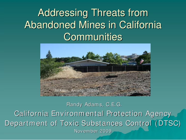
Jackson, Amador County