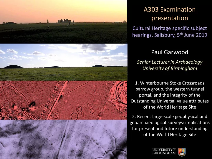
SLIDE 1 A303 Examination presentation
Cultural Heritage specific subject
- hearings. Salisbury, 5th June 2019
Paul Garwood
Senior Lecturer in Archaeology University of Birmingham
- 1. Winterbourne Stoke Crossroads
barrow group, the western tunnel portal, and the integrity of the Outstanding Universal Value attributes
- f the World Heritage Site
- 2. Recent large-scale geophysical and
geoarchaeological surveys: implications for present and future understanding
- f the World Heritage Site
SLIDE 2
The Outstanding Universal Value of the World Heritage Site
The WHS OUV designation (six attributes) encompasses the entire Stonehenge landscape noting the uniquely integrated and inter-referenced character of monuments and other features (architecturally, spatially, visually, etc). In particular:
Attribute 2: The physical remains of the Neolithic and Bronze Age funerary and ceremonial monuments and associated sites. Attribute 3: The siting of Neolithic and Bronze Age funerary and ceremonial sites and monuments in relation to the landscape. Attribute 5: The siting of Neolithic and Bronze Age funerary and ceremonial sites and monuments in relation to each other. Attribute 6: The disposition, physical remains and settings of the key Neolithic and Bronze Age funerary, ceremonial and other monuments and sites of the period, which together form a landscape without parallel.
SLIDE 3 Winterbourne Stoke Crossroads
The WSC barrow group is unique: the best-preserved Early Bronze Age funerary complex in Europe
Disc Bell Saucer Pond Pond Long Bowl
Full range of Early Bronze Age monumental architecture types Spatial relationships
SLIDE 4
The Early Bronze Age funerary and ceremonial landscape
The Early Bronze Age landscape, c.1850—1600 BC, exemplifies the WHS OUV attributes in the most striking and dramatic manner
SLIDE 5 The Early Bronze Age funerary and ceremonial landscape
The Early Bronze Age landscape, especially c.1850—1600 BC, exemplifies the WHS OUV attributes in the most striking and dramatic manner
3-D modelled terrestrial laser scan survey: view from Winterbourne Stoke Crossroads barrow group eastwards
SLIDE 6
Impact of the proposed A303 scheme on the Winterbourne Stoke Crossroads barrow group and its landscape setting
Visual relationships: viewsheds mapped on to the TLS model
Winterbourne Stoke 5 Winterbourne Stoke 10
SLIDE 7 Impact of the proposed A303 scheme on the Winterbourne Stoke Crossroads barrow group and its landscape setting
Visual relationships
View from Winterbourne Stoke 5 towards Normanton Down barrow group Normanton Down barrow group New King Barrow group Proposed location of western tunnel portal Viewshed from Winterbourne Stoke 5 (mapped on TLS extent only) Normanton Down barrow group Proposed Longbarrow Junction
SLIDE 8 Impact of the proposed A303 road scheme on the Winterbourne Stoke Crossroads barrow group, its landscape setting, and the WHS OUV
- 1. Claims that the scheme ‘protects’ the WHS OUVs are unconvincing and unsupported:
the scale of destruction is very great (c. 10 ha. inside the WHS and c.20 ha. in the Junction area)’; it involves permanent alteration of terrain; and highly significant spatial and visual relationships are interrupted and their qualities altered detrimentally.
- 2. These permanent alterations to the landscape fundamentally compromise the OUV
attributes with respect not only to the setting of an internationally significant monument group (in its own right), but also the relationships with other monuments that together form a coherent, uniquely-well-preserved Early Bronze Age sacred landscape.
- 3. If the road scheme is approved at all, it is recommended that the western tunnel is
moved at least 1.5 kms to the west, to a point well outside the current WHS boundary.
SLIDE 9
Motorised large-scale geophysical survey Multiple geophysical techniques 2-D and 3-D mapping of sub-surface features Seamless terrain-modelled volumetric mapping of whole landscapes
Recent large-scale geophysical and geoarchaeological surveys:
Implications for present and future understanding of the World Heritage Site
Stonehenge Hidden Landscapes Project: magnetometry survey areas 2010-16
SLIDE 10
Stonehenge Hidden Landscapes: survey extents 2010-16
SLIDE 11
Probable later Neolithic monuments: new discoveries
SLIDE 12
Probable later Neolithic monuments: new discoveries
SLIDE 13
Stonehenge Landscapes Electro- Magnetic Induction (SLE) Geoarchaeological Survey and Excavation Project
SLIDE 14 SLE geoarchaeological excavations
Intensive sampling methodology
Zone J Zone G Zone K Zone A Zone L
Core Zone 3 Core Zone 2
Zone H Zone D Zone C
Core Zone 1
Zone B
SLIDE 15 Recent large-scale geophysical and geoarchaeological surveys
Implications for present and future understanding of the World Heritage Site
- 1. Integration of multiple survey methods, which recover entirely different kinds of data (what
is ‘visible’ in one is often not in another), should be a condition of geophysical surveys.
- 2. Demagnetization can render even large features invisible magnetically: this has major
implications for the use of magnetometry, which most UK geophysical surveys rely on.
- 3. Development of geophysical techniques is a continuous process with unknown potential.
Destruction of parts of the WHS will deny researchers access to potentially significant data.
- 4. Understanding the geophysical ‘signatures’ of features requires comparative excavation
datasets from both anthropogenic and natural features
- 5. Even small-scale intensive excavation of certain feature types, or in areas that have been
neglected, are providing major new insights into prehistoric activity within the WHS
- 6. The finite character of the heritage resource within the WHS, its research and management
sensitivity, and the need for sustainability, demand the highest possible research-led recovery and recording of all possible data, and not just routine commercial method.