
SLIDE 1
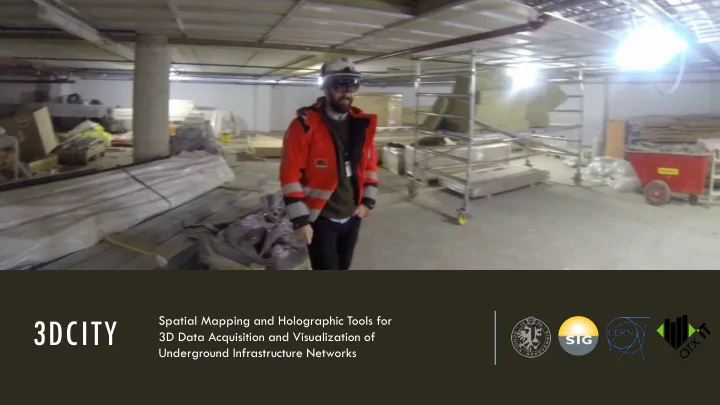
3DCITY
Spatial Mapping and Holographic Tools for 3D Data Acquisition and Visualization of Underground Infrastructure Networks
3DCITY 3D Data Acquisition and Visualization of Underground - - PowerPoint PPT Presentation
Spatial Mapping and Holographic Tools for 3DCITY 3D Data Acquisition and Visualization of Underground Infrastructure Networks CONTENT 1. 3DCITY Project 2. Geolocation 3. Spatial Mapping 4. MR Visualization 5. Contact Us 3DCITY PROJECT
Spatial Mapping and Holographic Tools for 3D Data Acquisition and Visualization of Underground Infrastructure Networks
PROBLEMS Surveying tasks require complex equipment and specialized personnel. Before excavation work, it is difficult to accurately locate the existing infrastructure. SOLUTION Execute surveying tasks and visualize buried infrastructure (ex. pipes) by using a head-worn holographic computer.
5 phases ▪ Requirements (3 mo) ▪ Prototype (6 mo) ▪ Alpha version (6 mo) ▪ Beta version (6 mo) ▪ Release candidate (3 mo)
Surveying Cadastral DB Visualization
SURVEYING
1. Acquire geolocated 3D models of excavated installations
2. Transform gathered 3D data into GIS format, and store into the cadastral database.
VISUALIZATION
1. Extract GIS data from the cadastral database, and transform it into 3D format. 2. Visualize buried installations on-site at their real position and scale, using a holographic device.
▪Holographic computer running Windows 10 ▪V1 Announced in 2015, V2 scheduled in 2019 ▪Self-contained, head-worn ▪Multiple sensors, advanced optics, custom chips ▪Displays mixed reality (holograms) ▪Learns about the environment (spatial mapping) ▪Recognizes gestures, voice ▪Cost $3000 - $5000 per unit
KNOWN CADASTRAL POINTS
▪Relative coordinates (HoloLens) are mapped to world coordinates (cadastral database) by exploiting HoloLens capabilities ▪Takes a bit longer to setup ▪Requires at least 2 known and easily accessible reference points ▪Works ANYWHERE without GPS signal or specialized devices
DGPS DEVICE
▪Simplest solution: DGPS device and HoloLens can share their position ▪Provides accuracy down to 2cm in
▪Yearly subscription $2500 for 10cm precision (Atlas) ▪Does NOT work in many situations: inside buildings, underground, etc.
https://www.youtube.com/watch?v=zff2aQ1RaVo
Spatial mapping provides a 3D triangle meshes representation of real-world surfaces around HoloLens, by using depth sensing cameras. Generated spatial meshes are commonly used for occlusion and physics, and can be stored and reworked in a 3D modeling software. We can use spatial meshes to calculate coordinates of the point where the user is looking (gaze cursor), which is important for geolocation.
PROBLEMS ▪ Spatial mapping on HoloLens is NOT a high-precision tool ▪ Camera range is limited to 3.1m ▪ Generated meshes may be inconsistent (holes, deformations) ▪ It may be difficult to understand raw 3D triangle meshes off-site
Cadastral points composing the pipe route (nodes) are recorded by "gazing" with the HoloLens spatial cursor. The surveyor also selects each pipe segment type (straight, elbow, reducer ...) to visually check that the generated 3D model matches the reality. This technique can be used to survey pipes of any diameter because it does not rely on the device’s spatial mapping resolution.
X Y Z Metadata 239957.2472 2015446.5019
Elbow joint 90° for class 150 metal piping, 3/4" diameter
239959.2326 2015447.0670 0.00452
Dynamic Flexible Coupling Style 75
239963.5312 2015446.9003 0.00457
Elbow joint 90° for class 150 metal piping, 3/4" diameter
239968.8227 2015446.7648 0.01006
Recorded Nodes Table Conversion to GIS file format Pre-integration human review
Cadastral DB integration
Surveying data (composed
metadata) is converted to GIS format used by the cadastral database, then transmitted (via mail par ex.) to a human reviewer before final integration. Depending on available geolocation data, Z value can be absolute or relative (as in this example).
https://www.youtube.com/watch?v=EUNdUajGttc
HoloLens allows to accurately visualize buried infrastructure location at the construction site, displayed as three-dimensional holograms
As HoloLens understands the environment (unlike regular mobile devices), we can improve perception (ex. occlusion, physics) and function (ex. distances from floors and walls). Not only 3D models but also multi-layered datasets - including 2D documents, energy analysis, light simulation, acoustics, equipment metadata - can be displayed as holograms.
Cadastral DB
Nodes coordinates + metadata 3D models geometry data (from catalog) Geolocation data Geolocated 3D scene model Visual aids
Holographic visualization improves perception only if the virtual data is displayed in a visually clear and meaningful way (no simple "floating" objects). We will use several techniques to achieve this goal.
▪ Projection lines (with dimensions) going vertically / horizontally from the pipe boundaries to the nearest visible floor / wall. ▪ "Virtual Holes" created by selecting two surface points, providing occlusion similar to a real hole while the user moves around. ▪ "Vertical slice" is a 2D view from inside a virtual hole, normal to the primary cut plane. It gives the user an unambiguous way to measure distances between adjacent pipes.
REAL-TIME SPECTATOR VIEW
▪ Record videos and geolocated photos with integrated camera mixing real and digital worlds, from a first-person point of view ▪ No setup, system-integrated feature
FILE-BASED RECORDING
▪ Project live-stream mixing real and digital worlds, from a third-person point of view ▪ Complex setup, requiring a custom camera rig and two HoloLens devices ▪ Hologram coordinates sharing must be implemented in the app