12/10/2007 1900s: Vancouvers first designated commercial zone - - PDF document

12 10 2007
SMART_READER_LITE
LIVE PREVIEW

12/10/2007 1900s: Vancouvers first designated commercial zone - - PDF document

12/10/2007 1900s: Vancouvers first designated commercial zone 1930s: light industries and warehouses 1970s: de -industrialized; became an office/commercial town Tracing the path of development of Yaletown after Expo86


slide-1
SLIDE 1

12/10/2007 1

Tracing the path of development of Yaletown after Expo86 Geography 376 Project Kelly S Liang  1900’s: Vancouver’s first designated

commercial zone

 1930’s: light industries and warehouses  1970’s: de-industrialized; became an

  • ffice/commercial town

 1986: Expo86  1987: a large portion sold to Concord Pacific;

rapid developments began

 2006: construction of Canada Line started  Find a pattern of gentrification  Explore the possibility to combine change in

land use and property value

 Examine the different factors to gentrification

and redevelopment

  • Zoning
  • History
  • Immigration
  • Etc.

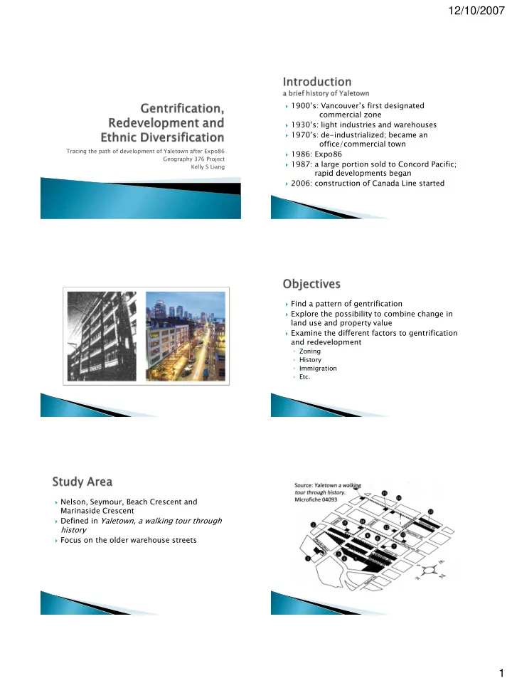
 Nelson, Seymour, Beach Crescent and

Marinaside Crescent

 Defined in Yaletown, a walking tour through

history

 Focus on the older warehouse streets

slide-2
SLIDE 2

12/10/2007 2

 From the database

  • Geography files e.g. land use, roads, etc.
  • Census data (1986)/2001

 Digitized materials

  • Ariel photos from GIC 1984/2004
  • On-screen digitization

 BC Assessment

  • Land use
  • Property values 1986/2007

data digitization analysis results

Collect data from various sources Create a polygon shapefile contains all of the buildings Input the values

  • f each building

using keyboard Census data: join, export, explore, etc. Regression model Redevelopment Index Gentrification ratio  To determine land use in 1984

  • BC Assessment microfiche

 Act Use, Plan #, assessment components

  • Ariel photo

 To determine which addresses are together in

  • ne building
  • BC Assessment

 2007: roll #, guide maps  1986: assessment style, address, aerial photo

  • Survey

address Roll number Roll Number r = 029-138-64 64-93 93-0000 0000

slide-3
SLIDE 3

12/10/2007 3

 Microfiche 2007

171~189

 Microfiche 2007

67~69

 5 x 13 x 12 x 21

  • more than16000

entries

  • 2-week-long

process

  • Predictably many

errors

 Gentrification

  • Ratio as opposed to increase
  • Makes the number more significant
  • Simple vs. adjusted

 Simple gentrification ratio = property value 2007 / property value 1986  Adjusted gentrification ratio = (property value 2007 / property value 1986) / average inflation in property value of Vancouver

 Provides a comparison to the rest of the city  Keeps the original ratios  Combined development indicator

  • Adjust gentrification ratio / redevelopment index
  • To find a way integrate change of land use and

increase in property value

 Regression model

  • To examine the correlation between proximity to

water and property price

 Other factors: history, zoning policies etc.

 Centroid instead of polygon

  • An attempt to solve the MAUP problem
  • Tools in GIS require data to be in points
slide-4
SLIDE 4

12/10/2007 4

 Census data

  • Explore
  • Clip
  • Join / relate
  • Field Calculation
  • Normalization
  • Etc.
slide-5
SLIDE 5

12/10/2007 5

 Overall idea

  • Gentrification should be measured with change in

land use?

  • Redevelopment indicator: lack of rationale
  • Gentrification= both commercial and residential

 Jack Cockwell @ BC Assessment  Dr. David Ley

 Geography project or an example of GIGO?

  • Absence of reliable data
  • Calculation errors
  • BC Assessment: too many changes
slide-6
SLIDE 6

12/10/2007 6

 Broader area  Incorporate more demographic components  Separate commercial and residential  Run a different redevelopment index  Regression with factors other than the one

examined in this project

 Census 2006  Explored the possibility to combine change of

land use and increase in property value

 Overall gentrification is present throughout

the area, but more dramatic in the land bought by Concord

 A strong relation between gentrification and

ethnic diversification

 Many improvements can be made to the

project, both ideological and practical