
SLIDE 1
Meteorologisk Institutt met.no Meteorologisk Institutt met.no
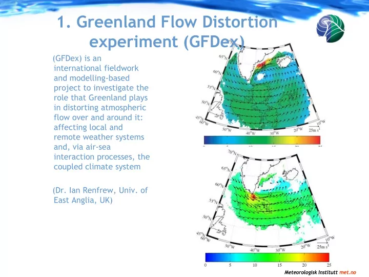
(GFDex) is an international fieldwork and modelling-based project to investigate the role that Greenland plays in distorting atmospheric flow over and around it: affecting local and remote weather systems and, via air-sea interaction processes, the coupled climate system (Dr. Ian Renfrew, Univ. of East Anglia, UK)
- 1. Greenland Flow Distortion