
SLIDE 1
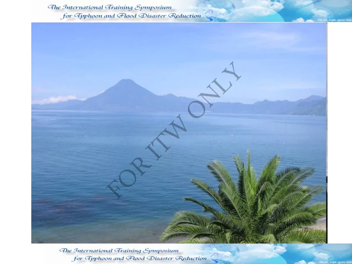
LAKE ATITLAN LAKE ATITLAN
G U A T E M A L A
Y L N O W T I R O F LAKE ATITLAN LAKE ATITLAN G U A T - - PowerPoint PPT Presentation
Y L N O W T I R O F LAKE ATITLAN LAKE ATITLAN G U A T E M A L A Y L N O W T I R O F VIVAMOS MEJOR ASSOCIATION VIVAMOS MEJOR ASSOCIATION G U A T E M A L A MISION Y L N O We are a non- -profit
G U A T E M A L A
G U A T E M A L A
VIVAMOS MEJOR ASSOCIATION HUMAN DEVELOPMENT AREA SUSTAINABLE DEVELOPMENT AREA
E DUCAT ION
HEALTH HOUSING
AGRO ECOLOGICAL
CONSERVATION ECO-TOURISM
HEALTH H OUSING
ECO-TOURISM
CONSERVATION AGRO ECOLOGICAL
EDUCATION
H U M A N D E V E L O P M E N T
S U S T A I N A B L E D E V E L O P M E N T
C O M M U N I T A R I A N O R G A N I Z A T I O N
LOCALIZATION Southern_Western Region EXTENSIÓN 1.061 KMS 2 LAKE’S EXTENSION 126 KMS 2
Human Communities
323,00 inhabitants
305 inhabitants/
95.4%
67%
33%
Active Population 2.5% of the country
KAQCHIKEL LANGUAGE (10) TZ’UTUJIL LANGUAGE (5) K’ICHEE LANGUAGE (4) MOST OF THE POPULATIONS BILINGUAL 19 TERRITORIAL DIVISIONS 95.4% INDIGINEOUS
A gigantic c hambe r
magma was for me d, T he F ur ne s de L
Choc oyos T he be ginning
for mation of the fir st volc anoe s in the r e gion with the e xpulsion and e r uption of T he F ur ne s los Choc oyos (the magma star ts to suffe r c hange s; the light magna and gas go up, and the he avy magma sinks) T he volc anic c yc le c ontinue s and the c ollapse of the old volc anoe s in the are a be gins, the e r uption de c re ase s in volume , but not on inte nsity Some time afte r the e r uption, the foundatio n c ollapse s, and for ms a hole of 18 km of diame te r and 900m of de pth
85,000 ye ar s ago the natur al dr aina ge was bloc ke d by the for mati
the ne w and c ur r e nt volc an
Atitlán
29 12 2005
Location of populated zones in the basin of rivers or storm water flow areas, without any protection The lack of planning by the municipal authorities and community for the prevention and action, in case of emergencies The lack of a Land Management Plan that allows to safely deepen the course of storm water and the construction of houses or urban areas, outside the zones liable to floods and landslides.
Departm partmental Co tal Consolidat idated Ch ed Chart art Analysis of Im
Risk, D , Damaged d Pop Popula latio tion an and Ho d Houses Imminen Imminent Ri Risk sk Damag Damaged ed Populati Population
Housing Housing Overflow Collapse Landslide Persons Families Missing Dead Injured Destroyed Damaged In high risk 89 97 62 21,476 3,134 605 131 95 1,923 1,470 1,398 28,255 38,930 9 31 33 18 8 64 11 Destroye d Affected Damage d Destroy ed Damage d Destroye d Damage d Destroy ed Damage d Destroyed Damage d Destroye d Exten Extension in chords sion in chords Communitary mmunitary Familiar Familiar Cr Crops
Irri rrigation Sy gation Systems ems Oth Others rs He Health Centers Centers Schools Schools Ag Agricultur riculture-Productive e-Productive Social Social Infrastructur Infrastructure Departm partmental Co tal Consolidat idated Ch ed Chart art Analysi Analysis s of
Damages in s in Social Social Infrastructur Infrastructure and and Agricultur Agriculture-Pr e-Productive
2 10 47 55 10 79 36 7 38 282 147 33 38 Damage d Destroye d Damage d Destroye d Vicinal Pathwa y Destroye d Collapse d Affecte d Destroye d Affecte d Destroye d Affecte d Destroye d Pedestrian Pedestrian Veh Vehicular lar Tan Tank Syst System Source Source Bridge Bridges Ro Roads Wat Water Sys System ems De Departme partmenta ntal Co Consol
idated C Chart hart Analysis of D Analysis of Damages mages in in Wate ter Systems, Roads and Systems, Roads and B Bridges ges
Capacity Strengthening in the Civil Participation Spaces Gua 03/005
Human Settlement Potable Water Environmental Sanitation Vial Communication
Risk reduction Health and wellbeing
Economic Reactivation
Civil Participation
Prom
nships of the Atitlán basin, w ith the purpose of m aintaining the environm ental services.
1.REG I O NAL T O WNSHI P PARKS