
SLIDE 1
What is the MTP? What is the MTP? A 20-year vision for - - PowerPoint PPT Presentation
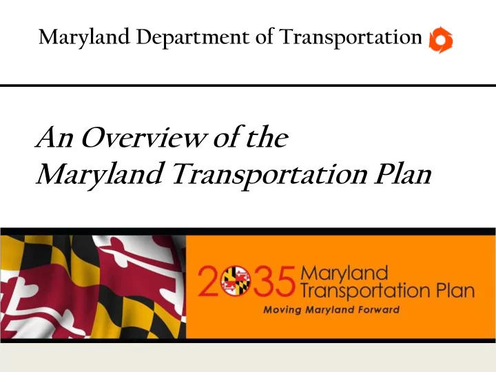
Maryland Department of Transportation An Overview of the Maryland Transportation Plan What is the MTP? What is the MTP? A 20-year vision for transportation in Maryland that outlines the States transportation policies and priorities and helps
What is the MTP?
A 20-year vision for transportation in Maryland that outlines the State’s transportation policies and priorities and helps guide Statewide investment decisions for all methods of transportation
for MDOT.
financial resources anticipated to be available.
strategies to achieve goals and objectives.
time and will be a companion element to the MTP.
www.mdot.maryland.gov/mtp
3
4
Consider Plans of the State’s Metropolitan Planning Organizations
1. Quality of Life and Sustainability: A high quality of life is achieved through universal stewardship of the land, water, and air resulting in sustainable communities and protection of the environment. 2. Public Participation: Citizens are active partners in the planning and implementation of community initiatives and are Sensitive to their responsibilities in achieving community goals. 3. Growth Areas: Growth is concentrated in existing population and business centers, growth areas adjacent to these centers, or strategically selected new centers. 4. Community Design: Compact, mixed–use, walkable design consistent with existing community character and located near available or planned transit options is encouraged to ensure efficient use of land and transportation resources and preservation and enhancement of natural systems, open spaces, recreational areas, and historical, cultural, and archeological resources. 5. Infrastructure: Growth areas have the water resources and infrastructure to accommodate population and business expansion in an orderly, efficient, and environmentally sustainable manner; 6. Transportation: A well–maintained, multimodal transportation system facilitates the safe, convenient, affordable, and efficient movement of people, goods, and services within and between population and business centers;
provides residential options for citizens of all ages and incomes;
resource–based businesses that promote employment
State’s natural resources, public services, and public facilities are encouraged;
including the Chesapeake and coastal bays, are carefully managed to restore and maintain healthy air and water, natural systems, and living resources;
areas, open space, natural systems, and scenic areas are conserved;
are responsible for the creation of sustainable communities by collaborating to balance efficient growth with resource protection; and
for growth and development, resource conservation, infrastructure, and transportation are integrated across the local, regional, state, and interstate levels to achieve these Visions.
Assess appropriate typology for investments w/ respect to planned growth areas
11
12
provide a transportation system that is resilient to natural or man-made hazards
transportation infrastructure and assets
by users of Maryland’s transportation system
transportation infrastructure program conserves and enhances Maryland’s natural, historic, and cultural resources
that support communities and quality of life
PlanMaryland by establishing place-types to recognize differences and outlines transportation solutions appropriate to the varied needs and settings around the state.
transportation infrastructure decisions, these are:
– Urban Centers – Towns and Suburban Centers – Rural & Agricultural Areas – Natural Areas
– Initiate Public Outreach Activities (E-list, Survey, Stakeholder Meetings, Newsletters, Presentations, etc.); – Assess Current Conditions and Trends; and – Develop Draft Goals, Objectives, Strategies and Performance Measures.
– Identify Potential Strategies; – Assess Qualitative Needs and Financial Resources; and – Host Advisory Committee Meetings to Discuss Performance Measures.