
SLIDE 1
Sally Clifton Parks – GeoCatch Coordinator
What is GeoCatch doing to improve water quality in the Vasse - - PowerPoint PPT Presentation
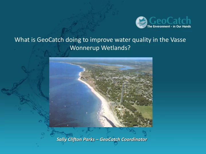
What is GeoCatch doing to improve water quality in the Vasse Wonnerup Wetlands? Sally Clifton Parks GeoCatch Coordinator Who is GeoCatch? Why GeoCatch started? What have we done in the past to improve water quality? What are we doing now?
Sally Clifton Parks – GeoCatch Coordinator
www.geocatch.asn.au
www.geocatch.asn.au
Community concern about the health of Geographe Bay in 1997 prompted discussions between the Shire’s of Busselton and Capel. GeoCatch was formed as a response to these concerns. GeoCatch aim to improve the health of our wetlands, waterways and bay We do this through partnerships with management agencies, research
www.geocatch.asn.au
Our Council:
www.geocatch.asn.au
Our staff: 6 project officers 1 finance officer 1 executive officer 1 coordinator
Partnership since 1997 (then Water and Rivers Commission) DoW GeoCatch GeoCatch council member sitting fees Core staff support including the employment of a GeoCatch Coordinator Office facilities, IT and technical support Work with the community to improve the condition of our waterways, wetlands and Geographe Bay Source funding to deliver on ground
Create and maintain partnerships with community, local, state and federal government.
www.geocatch.asn.au
www.geocatch.asn.au
1997 – 2007 Insitu water quality improvement Restoring river ecology
www.geocatch.asn.au
www.geocatch.asn.au
Trials included:
www.geocatch.asn.au
to stop algal blooms
groundwater (septics) and in-flow from the catchment
These actions treat the symptoms. Need to manage the source of the nutrients = inflow from the catchment
www.geocatch.asn.au
Nationally recognised Coastal Hotspot
Coastal Catchments Initiative project
(nutrients) in key coastal ‘hotspots’.
Plans (WQIP) has been developed for the Vasse – Wonnerup wetlands and Geographe Bay.
www.geocatch.asn.au
www.geocatch.asn.au
The development of the WQIP was a partnership between GeoCatch and the Department of Water The WQIP is our ‘action plan’ to improve water quality It brings together the best current science to give us a tool kit of management actions Focuses on all catchments of Geographe Bay, but prioritises ‘nutrient hotspots’ WQIP implementation needs everyone’s involvement to be successful - GeoCatch actively engages a broad range
community
Phosphorus concentration summary (1998–2007)
0.1 0.2 0.3 0.4 0.5 0.6 0.7 Five Mile Creek Gynudup Brook Capel River Ludlow River Abba River Sabina River Lower Vasse River Vasse Diversion Drain Buayanyup River Carbunup River Annie Brook Toby Inlet Dunsborough Region Jingarmup Brook Winter median concentration (mg/L)
Winter median concentraion (95% confidence intervals) Winter median target concentration
5.1
N and P acceptable concentration levels.
currently meet the P target, but not N.
meet either N or P targets. Protection, Intervention, Recovery
www.geocatch.asn.au
Cattle for beef and cattle for dairy (fertiliser) Point sources significant contrbutor of P (dairy sheds, feedlots) Urban contributions is currently small, but is predicted to increase greatly with urban expansion Cattle for beef and dairy Cattle for beef and dairy Point sources
www.geocatch.asn.au
Working with the community and partners to reduce nutrients from both urban and rural sources Ongoing monitoring of the catchment’s waterways Monitoring the health of the wetlands and Bay
Aim: to stop nutrients from dairy sheds entering Geographe waterways Experience from previous projects told us we needed a new approach:
consultants in dairy effluent system design
Challenge – expense of set up and ongoing maintenance
Effluent Management Training workshops
www.geocatch.asn.au
Aim: to prevent nutrients entering waterways through stock exclusion fencing and revegetation
fenced through GeoCatch since 1997
catchment
www.geocatch.asn.au
www.geocatch.asn.au
Aim: Reduce nutrients (Phosphorus) from agricultural fertiliser entering Geographe waterways by implementing best practice fertilise use
production of fertiliser maps
catchment
behaviour change
www.geocatch.asn.au
Create ‘Wetlands’ and ‘streams’ that strip nutrients and pollutants from stormwater Demonstrate to local government what can be achieved and incorporated into their retrofitting and re-development programs.
Strong partnership with City of Busselton and Shire of Capel, both cash and in-kind support to projects Demonstrate what can be achieved Aim: To reduce nutrients and pollutants leaving urban areas and entering Geographe waterways
www.geocatch.asn.au
Coles carpark College Avenue Queen St
Aim: To reduce nutrients and pollutants leaving high risk businesses
plans for high risk businesses (44 completed)
as ‘In progress’ or ‘Approved’ as Bay Friendly
business owners has been key
www.geocatch.asn.au
Aim: To reduce nutrients leaving urban properties and entering Geographe waterways Urban areas are a significant contributor to nutrients entering the Lower Vasse The biggest predicted increases in nutrients in the future will be from new urban developments The average gardener applies more fertiliser than dairy
Activities include low nutrient gardening workshops and demonstrations
The branding and marketing behind GeoCatch’s WQIP implementation
businesses
catchment
aquatic plants and water quality (since 2006, Murdoch Uni)
Bay (2012 and 2013, Edith Cowan Uni)
www.geocatch.asn.au
www.geocatch.asn.au
Working with the un-willing Awareness raising vs behaviour change Scale of the problem Meeting community expectations Funding!
www.geocatch.asn.au
Our role - “The community’s voice in the catchment” Can we help the community’s voice to be heard? Act as a link between the community and the management agencies Workshop community concerns, suggestions and ideas to feed back into decision making?
www.geocatch.asn.au
www.geocatch.asn.au
Point Sources Septic Horticulture Perennial Horticulture Viticulture Cattle for Beef Cattle for Dairy Other Rural Horses Lifestyle Urban
Cattle for beef and dairy (diffuse)
Point Sources Septic Horticulture Perennial Horticulture Viticulture Cattle for Beef Cattle for Dairy Other Rural Horses Lifestyle Urban Fixation
Cattle for beef and dairy (diffuse)
Interim 10 yr 23%
Interim 10 yr 19%
Interim 10 yr 36%
Interim 10 yr 30%
www.geocatch.asn.au
GeoCatch Inc Geographe Catchment Council Department
Advisory committee established under the Water Agencies Powers Act 1984 Incorporated group
Partnership Agreement Access and manage external funding
GeoCatch receives member fees, coordinator support, financial management support, technical support. GeoCatch engages the community and forms partnerships to manage the catchment and its waterways