
SLIDE 1
WG2 AP BON Integrated observation of terrestrial and g aquatic - - PowerPoint PPT Presentation
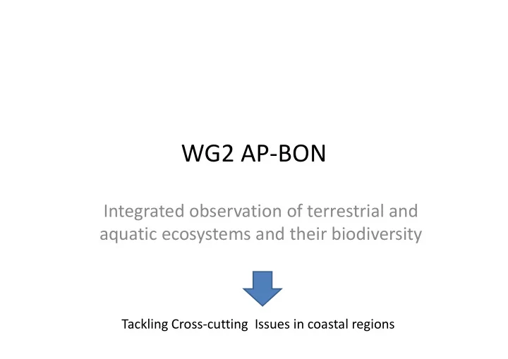
WG2 AP BON Integrated observation of terrestrial and g aquatic ecosystems and their biodiversity Tackling Cross cutting Issues in coastal regions GEO BON Asia Pacific Biodiversity Observation Network (AP BON) Cross cutting issue
GEO‐BON
Cross‐cutting issue Genetic diversity
JAXA Monitoring WG Steering C itt JAMSTEC Forest WGs Committee JaLTER/ILTE R Agriculture Interface JBIF/GBIF Inland water Evaluation/ Projection Networking Marine Remote Sensing j J‐BON
M t
Eko Siswanto Management H.Yamano Biodiversity/Ecosystem change
Ca salit
Causality
CO2 emission Precipitation Climate change Global‐scale factors ‐Temperature warming ‐Ocean acidification Local‐scale factor ‐Land‐based pollution ‐Sea‐level rise Coral decline Biological factors ‐Algal overgrowth ‐Acanthaster planci outbreak Land use change Acanthaster planci outbreak ‐Overfishing Socioeconomic Population increase S R f t Ri k i it d
4
Local 60% at risk Local + global 75% at risk Source: Reefs at Risk revisited
Coral cover in ~1960 = 40 – 55% (Bruno and Coral cover in 1986 = 28% Coral cover
( Selig 2007; Bellwood et al. 2004; Hughes et
(Sweatman et al. 2011)
in 2004 = 22%
(Sweatman et al. 2011)
Coral cover in 2012 = 14%
(De’ath et al. 2012) (note 11% south of 2011) (note 11% south of Cooktown)
Coral cover in 2020? D ’ th t l – see De’ath et al. 2012 – 5%? Inner-shelf reefs also in decline (Thompson et al. 2013)
Land
Original image Classified image
N 5 km O Shiraho Landsat ETM+: Spatial resolution = 30 m, Accuracy = 64 % Ocean Coral N Seagrass Bare substrate (pavement) Bare substrate (submerged sand) 500 m IKONOS: Spatial resolution = 4 m, Accuracy = 81 % Bare substrate (exposed sand) 500 m
Yamano (2013) In: Coral Reef Remote Sensing
MODIS Chlorophyll-a
7 Jul 2010 27 Jul 2008 28 Feb 2010 12 May 2010 Summer Summer Spring Winter
MODIS based water classifications MODIS-based water classifications
Diatom Diatom ( (confirmed) confirmed) Karenia G lb t ff/d t d i t d K.
mikimotoi ( (confirmed) confirmed)
Mostly TSM and gelbstoff/det.- dominated waters False detection reduced,
detected
Karenia Non-red tide/Clear water Diatom TSM-dominated Gelbstoff/det.-dominated Land Cloud/no data
20.6 km2
49.2 tons/km2/year
86 3 km2
215.7 tons/km2/year
86.3 km2
47.4 km2
9.7 tons/km2/year
28.5 km2
462.4 tons/km2/year
12
34S/32S
sourced mainly from erosion in grazing lands. T t l Nit 6 ti i i 1850
– Particulate N loads mainly from erosion in grazing lands, nitrate from fertiliser use in sugarcane, cotton, horticulture, grains. g , , , g
1850 – Particulate P loads also from grazing l d lands.
and others) – 28 tonnes ( no natural load) – ) ( ) from sugarcane, grains cropping and weed control in grazing lands. Loads from Kroon et al 2012; source information Loads from Kroon et al 2012; source information from Waterhouse et al. 2012
Civil engineering Civil engineering Modeling/observing sediment discharge Identifying allowable limit of
that have large discharge Identifying allowable limit of sediment discharge Ecology Biodiversity observation Biodiversity observation ‐>Setting conservation goal Presenting options
Setting “green belts”
Presenting options for reducing sediment discharge Cost estimation P l ’ i i Adaptive management
Planning land use
Socioeconomics People’s incentive ‐>Sustainable measures
Water Cycle Water Cycle Ocean Observation Agriculture&Food Forest Agriculture&Food