
SLIDE 1
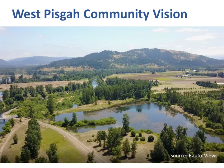
West Pisgah Community Vision
Source: RaptorViews
West Pisgah Community Vision Source: RaptorViews Regional Context - - PowerPoint PPT Presentation
West Pisgah Community Vision Source: RaptorViews Regional Context 1970 Vision for Mount Pisgah (Central Lane Regional Parks Plan) Regional Open Space Context: Rivers to Ridges Vision Regional Open Space Accomplishments (2003-2017) Rivers to
Source: RaptorViews
(Central Lane Regional Parks Plan)
Regional Open Space Context: Rivers to Ridges Vision
Regional Open Space Accomplishments (2003-2017)
Rivers to Ridges Vision Map – West Pisgah Area
Willamette River Vision Map – West Pisgah Area
Black Diamond = Existing U-Pick or CSA (farm stands)
Turtle Flats +
Pudding Ponds
South Meadow (155 acres)
1998-2015
Sorenson (BPA - 44 acres)
1998-2010
to Mount Pisgah, a treasured resource that provides engagement with nature and a respite for visitors from nearby urban centers.
people of Lane County with healthy, locally grown food.
visitors, and nature.
economic engines.
Seavey Loop neighbors and the people of Lane County. Pudding Ponds (source: TNC)
Developed in 2015 by a group of Seavey Loop area neighbors and presented to the City of Springfield.
Source: John Helmer
You have received an out of state job offer that was too good to pass up and reluctantly leave your southern Willamette Valley home. After being gone for 30 long years, you become sentimental and decide to return home for good. You remember that there had been a visioning effort underway for the West Pisgah area and you decide to visit the area to see how things turned out. You spend an entire day traveling through the area and are absolutely thrilled by everything that you are seeing. Please spend 1-2 minutes describing what you’re envisioning.