SLIDE 1
Northeast I-94 Land Use Plan Open House January 17, 2018
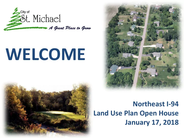
WELCOME
SLIDE 2 OUTLINE
- Introductions
- History
- Current Plan
- Options
- GATHER INPUT
- Next Steps
SLIDE 3 Pre - 1978 no density restrictions 1978 - 1996 County (and by default Frankfort Township) adopts a 1 dwelling unit per 40 acre policy. 1 acre lot subdivisions allowed if contiguous to an existing subdivision. Most development northeast
- f I-94 occurred in the late 1980’s and early 1990’s
1996 - present merger of City of St. Michael and Frankfort Township in 1996 – all development is required to be on City sewer and water
PLANNING HISTORY
SLIDE 4 1 Acre Lot Subdivisions
1973 - Country View Acres
1978 - Crow River Acres 1987 - Foster Lakeshore Acres 1988 - Fox Hollow 1989 - Crow River Highlands
- Foster Hills
- Schandosy Hills
- Schandosy Hills East
1990 - Willow Bend 1993 - Bourgeois Hills
- Fox Ridge
- Zachman Hilltop Estates
SLIDE 5
1997 Land Use Plan
SLIDE 6
1997 Land Use Plan
SLIDE 7
1999 Park, Trail and Open Space Plan
SLIDE 8 1999 Park, Trail and Open Space Plan
- 2 Future Parks
- Trail System
- Preserve wooded hill running southwest to northeast from I-94 past Foster Lake
SLIDE 9
2004 Sanitary Sewer Plan – NE District
SLIDE 10
Current Land Use Plan
SLIDE 11 Why Consider Change?
- Accommodate demand in City for larger lots – not everyone wants
to live on ¼ acre ‘city’ lots
- Encourage a variety of housing styles and price ranges within the
community
- Provide opportunities for more custom builders versus larger
subdivisions with increasingly larger builders
- Secure expansive planned and desired open space and trail corridors
- Approximately 50% of this area is already developed into 1+ acre
lots
- Upgrades to sanitary trunk sewer would be needed to extend City
sewer to entire area; with existing capacity desired to be reserved for mostly commercial development near freeway
SLIDE 12
- 1. Current Plan – “Suburban” Development
- 2. “Rural” Development
- Substantially similar to existing development in the area
- Minimum lot size likely to be 1.5-2 acres versus 1 acre in
- rder to accommodate primary and secondary septic sites
- 3. “Open Space” Residential
- Allows similar density as large lot development but clusters
the lots to preserve open space
- Often lots are on shared community septic systems,
- r backup options are available in the open space area
- Can minimize length of roads and reduce runoff
- More likely to preserve existing natural features, views,
- r desired park areas
Options
SLIDE 13 Example 1 – Rural Development
Size: approx. 237 acres Lots: 164 lots Minimum Lot Size: 1.0 acre Density: Approximately 28 lots per 40 acres
SLIDE 14 Example 2 – Rural Development
Size: approx. 192 acres Lots: 89 lots Minimum Lot Size: 1.0 acre Density:
- Approx. 18.5 lots per 40 acres
Open Space/Park: none
SLIDE 15 Example – Open Space Development
Size: 230 acres Lots: 72 Minimum Lot Size: 1 acre Density: Approximately 12.5 lots per 40 acres 52% open space
Location: Otsego – Mississippi Pines
SLIDE 16
- St. Michael Example – “Open Space”
Size: 80 acres Lots: 24 Open Space: approx. 46% or 37 acres
Location: St. Michael - Zachman’s Hilltop
SLIDE 17
Sewer/Water Costs – if utilities are brought further into the area, the City typically only brings them into a neighborhood if there is a petition Traffic I-94 – 3rd lane from Hwy. 241 to Albertville is designed; if funded construction would be as early as 2019; this includes reconstruction/expansion of the 241 Interchange CSAH 36 (I-94 to TH101) - part of Wright County Transportation Plan - likely 5-10 year time period Schools – City coordinates and shares information with both SMTA and ER School Districts
Additional Information
SLIDE 18 Planning Commission & Council will:
- Review feedback
- Evaluate and select a preferred option
- Develop specific goals, policies and ordinances for
implementation
- Hold Public Hearing to consider preferred plan and
receive additional input
Next Steps
SLIDE 19
There are 4 stations with the following 2 sheets: Preference for future growth – 3 scenarios
Feedback
SLIDE 20
Weigh in on various goals or topics – use stickers
Feedback
SLIDE 21
Input on the maps on the tables:
Feedback
SLIDE 22
Be respectful of other opinions Please fill out the sign-in sheet at your table Comment Cards – grab one on the way out the door!
Feedback
SLIDE 23
Additional questions or comments? Please contact: Marc Weigle 763-416-7932 mweigle@ci.st-michael.mn.us
Thanks for your input!