
SLIDE 1
Welcome WIS 35 (La Crosse County Line to Garner Place) La Crosse - - PowerPoint PPT Presentation
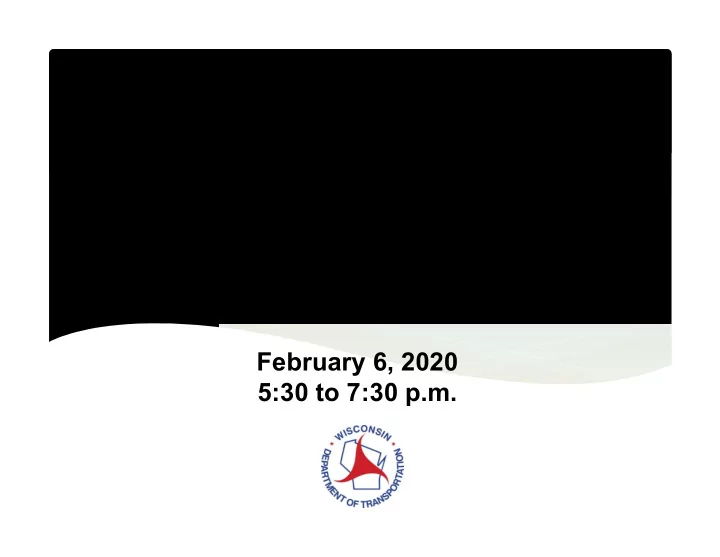
Welcome WIS 35 (La Crosse County Line to Garner Place) La Crosse County Public Involvement Meeting February 6, 2020 5:30 to 7:30 p.m. Project Location WIS 35 from La Crosse County Line to Garner Place US 14/US 61 from WIS 35 to
* Insurance Institute for Highway Safety
Sunnyside Dr WIS 35
WIS 35 Sunnyside Dr Riverview Dr US 14 Old Town Hall Rd
WIS 35