
SLIDE 1
US-62/SH-82 Intersection in Cherokee County
July 13 – July 31, 2020
WELCOME
Virtual Public Meeting
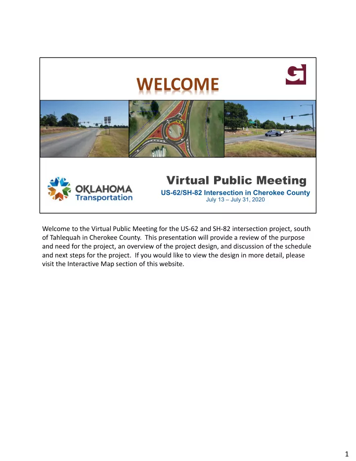
Welcome to the Virtual Public Meeting for the US-62 and SH-82 intersection project, south
- f Tahlequah in Cherokee County. This presentation will provide a review of the purpose