Welcome Union Station in 1899. Image: City of Toronto Archives - - PDF document

welcome
SMART_READER_LITE
LIVE PREVIEW

Welcome Union Station in 1899. Image: City of Toronto Archives - - PDF document

Union Station Queens Quay Transit Link Study Welcome Union Station in 1899. Image: City of Toronto Archives Union Station today. Image: Camil Rosiak Activity along Queens Quay. Image: Waterfront Toronto For more information or to


slide-1
SLIDE 1

Welcome

For more information or to comment, visit toronto.ca/waterfronttransit

  • r email waterfronttransit@toronto.ca

Activity along Queens Quay. Image: Waterfront Toronto Union Station in 1899. Image: City of Toronto Archives Union Station today. Image: Camil Rosiak

Union Station – Queens Quay Transit Link Study

slide-2
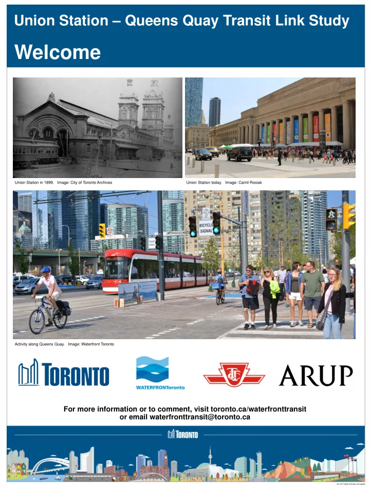
SLIDE 2

Project Background

Key changes since East Bayfront Transit EA approval

  • Planning and Implementation of Major GO Transit

Expansion, Relief Line Subway, and Union Station Revitalization

  • Ongoing Waterfront Revitalization and significant waterfront

land use growth outpacing previous projections

  • Further design investigation of subsurface conditions
  • Major adjacent local developments along Bay Street

1990

Union Station Streetcar Loop opens establishing higher-order underground transit connection between Union Station, central, and western waterfront

2010

East Bayfront Transit EA approves new surface LRT for Queens Quay East connecting to proposed expanded Union Station streetcar loop

2016 – 2018

Waterfront Transit Reset – Council approved the Waterfront Transit Network Plan

2018 – present

Union Station – Queens Quay Transit Link Study

Existing Union Station streetcar loop. Image: Bryan Bonnici

  • For Lower Bay Street,

Council directed a focused comparative study of repurposed tunnel with funicular (APM) transit technology and Streetcar Loop Expansion options; each would connect to Queens Quay LRT

  • Repurposing of Bay tunnel

to walking + moving sidewalk eliminated from consideration

Union Station – Queens Quay Transit Link Study

East Bayfront LRT preferred design concept

slide-3
SLIDE 3

Study Overview

Technologies

Streetcar to Union (modified from EA) E/W Streetcar on Queens Quay with N/S Automated People Mover (APM) to Union

TTC Flexity Streetcar Length 30m Capacity (standard load) 130 Propulsion Traction power Automated People Mover Length 36m (variable) Capacity (standard load) 200 Propulsion Cable-pulled

Image credit: Secondarywaltz

Union Station – Queens Quay Transit Link Study

Study purpose

  • Confirm an appropriate and

implementable solution for the connection of Queens Quay LRT to Union Station

  • The primary study area

includes the Bay Street corridor between Front Street and Queens Quay and the Queens Quay corridor between York Street and Freeland Street

slide-4
SLIDE 4

Growth & Travel Demand

Peak hour transit ridership All day ridership considerations

  • Peak transit demand in the Bay

corridor is forecasted to be 4,000 – 8,000* passengers by 2041

  • Approximately 40% of AM peak hour

trips are destined to QQ/Bay and the remaining 60% of trips are destined to the wider waterfront

  • The Bay Street and Queens Quay corridors

draw thousands of additional daily tourists, recreation, and special event riders

  • Billy Bishop Airport draws approximately

2.8 million passengers per year

  • These riders are not well-captured through

transit demand forecasting

* Range subject to design refinement and fare structure assumptions * Assumes Relief Line South in network

Union Station – Queens Quay Transit Link Study

Venue/destination Estimated annual visits/attendance Harbourfront Centre 17,000,000 Exhibition Place 7,000,000 Scotiabank Arena 3,000,000 Jack Layton Ferry Terminal/Toronto Islands 1,500,000

Waterfront growth & need factors

Very significant growth is occurring and planned on the waterfront in the coming years

slide-5
SLIDE 5

Screening

Union Station – Queens Quay Transit Link Study

Initial options considered

Streetcar with expanded Union loop and QQ Station (modified EA) APM with streetcar below grade at QQ/Bay APM with streetcar at grade along QQ APM with streetcar at grade along Queens Quay presented challenges

  • Major transfer volumes increase potential for conflicts between pedestrians, cyclists, transit, and traffic at grade
  • Insufficient space within the roadway to fit streetcar platforms while maintaining access to Harbour Square
  • Non weather protected connection for large passenger transfer volume is undesirable
  • A number of optimization exercises were conducted but it was ultimately decided that a below-grade

APM/streetcar interchange is safest and most convenient

Pedestrian activity at street level at Queens Quay and Bay Street. Image: 2018 Google Pedestrian activity along Queens Quay. Image: DTAH

Carried forward Carried forward Not carried forward

slide-6
SLIDE 6

Streetcar Option (Modified EA)

Union Station – Queens Quay Transit Link Study

The Modified EA Option keeps the existing streetcar service from the west waterfront to an expanded Union Station streetcar loop, while adding a new underground streetcar connection between Union Station and the eastern waterfront.

Drawings are preliminary and are not necessarily representative of final design. Station render showing the vision for Union Station, looking south

Artist’s depiction subject to change and future design refinement

Station render showing the vision for Queens Quay Station, looking south

Artist’s depiction subject to change and future design refinement

slide-7
SLIDE 7

Streetcar Option (Modified EA)

Union Station – Queens Quay Transit Link Study

Queens Quay Station, track level Queens Quay Station, below track level Union Station, track level

slide-8
SLIDE 8

APM Option

Union Station – Queens Quay Transit Link Study

The APM Option repurposes the existing streetcar tunnel between Queens Quay and Union Station with an underground driverless Automated People Mover (APM). Streetcar services between the east waterfront and west waterfront connect riders to the southern terminus of the APM at a new underground Queens Quay Interchange Station.

Drawings are preliminary and are not necessarily representative of final design. Station render showing the vision for Union Station, looking south

Artist’s depiction subject to change and future design refinement

Station render showing the vision for Queens Quay Station, looking south

Artist’s depiction subject to change and future design refinement

slide-9
SLIDE 9

APM Option

Union Station – Queens Quay Transit Link Study

Union Station, track level Union Station, below track level Queens Quay Station, track level Queens Quay Station, below track level

slide-10
SLIDE 10

User experience

A focused evaluation of the two options is based on the following key criteria:

Evaluation

Criterion Streetcar APM Travel time assessment Medium/longer trips (QQ) faster Short trips (Bay) faster Service reliability Union Loop subject to potential on- street delays Higher headway reliability for Bay Street trips Comfort/convenience/ accessibility Single ride to/from Union Additional transfer to/from Union Conclusion Preliminary preferred

  • Transportation

Criterion Streetcar APM Local (QQ & Bay) transit riders Higher along QQ east and west Higher for Bay Street Network (GTA) transit riders Small increase in TTC ridership Small increase in GO ridership Streetcar network Expanded terminal at Union No terminal at Union Overall Preliminary preferred

  • Construction impacts

Criterion Streetcar APM Risk profile Rail viaduct risks No rail viaduct risks Pedestrian teamways Teamways closed and pedestrians rerouted due to construction Teamways not closed for construction Property impacts 141 Bay basement impacts and teamways No significant impacts Bay Street lane impacts South of rail viaduct impacts No significant impacts Duration estimation 4-5 years 3-4 years Overall

  • Preliminary preferred

Class 4 capital cost estimates

Criterion Streetcar APM Capital costs (to interim loop near Parliament Street) $650 - $700 million* $650 - $700 million* Overall No preliminary preferred

*subject to refinement

Union Station – Queens Quay Transit Link Study

Operating costs forthcoming

slide-11
SLIDE 11

Elements of Assessment

Union Station – Queens Quay Transit Link Study

User experience

  • Pedestrian level of

service assessment shows station areas are suitably sized for anticipated ridership transfer volumes

Transportation

  • A streetcar terminal

at Union Station

  • ffers the greatest

amount of flexibility for future waterfront transit network implementation and service planning

Map showing existing (solid) and future (dashed) higher order transit on the waterfront

  • Travel time assessment shows

APM is slightly faster for one-stop Bay Street trips while streetcar is faster for medium/longer distance trips along the waterfront due to no transfer required at Queens Quay

slide-12
SLIDE 12

Preliminary Preferred Option

Criterion Streetcar APM User experience Preliminary preferred

  • Transportation

Preliminary preferred

  • Construction impact
  • Preliminary preferred

Capital costs No preliminary preferred Overall Preliminary preferred

  • Overall evaluation summary
  • Both options are viable
  • Both options offer significant improvements to moving people
  • Construction of both options is feasible
  • Streetcars is preferred for the overall TTC network

Union Station – Queens Quay Transit Link Study

Next steps

  • Finalize technical analysis and evaluation, considering public

feedback

  • Report to City Council April 2019
slide-13
SLIDE 13

Construction Management

Union Station – Queens Quay Transit Link Study

Construction coordination

  • Pedestrian access in the corridor

will be maintained and may require significant temporary improvements to accommodate anticipated flows

  • Bike access and one lane of

traffic in each direction will be maintained

  • Significant concurrent projects

to be coordinated

  • Numerous Metrolinx projects
  • Future developments under

construction and planned/proposed

  • E.g. CIBC Square: 141 and 81/45

Bay Street

  • Gardiner ramp changes (e.g.

removal of Bay Street on-ramp)

Transit service

  • Streetcar service along Bay suspended for duration of construction

for both options

  • Replacement bus service required
  • Phasing to mitigate impacts to transit to be evaluated in next phases

Image: Toronto Star

slide-14
SLIDE 14

East Bayfront LRT

Union Station – Queens Quay Transit Link Study

  • EA-approved portal is located east of Yonge Street
  • An alternate portal location west of Yonge Street may be considered
  • Locating the portal west of Yonge Street would involve partial lake

filling, reconfiguration of access to the Westin Harbour Castle property and the Jack Layton Ferry Terminal, and create new public space

Portal location

  • The Union Station – Queens Quay Transit Link will be integrated with

the delivery of the East Bayfront LRT to Parliament Street

Delivery

For more information or to comment, visit toronto.ca/waterfronttransit

  • r email waterfronttransit@toronto.ca

Street-level render of alternate portal location west of Yonge Street

Artist’s depiction subject to change and future design refinement

Street-level render of EA-approved portal location east of Yonge Street

Artist’s depiction subject to change and future design refinement