
SLIDE 1
1
WEL WELCO COME PUBLIC OPEN HOUSE FOR US-64 FROM THE SH-18 - - PowerPoint PPT Presentation
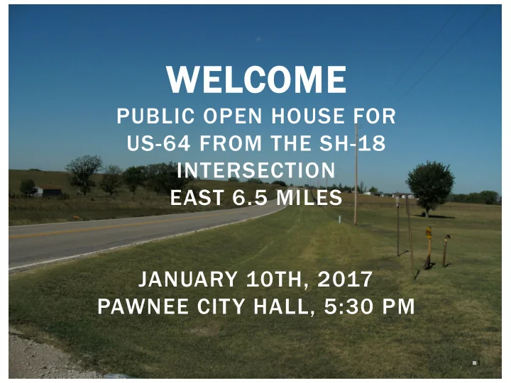
WEL WELCO COME PUBLIC OPEN HOUSE FOR US-64 FROM THE SH-18 INTERSECTION EAST 6.5 MILES JANUARY 10TH, 2017 PAWNEE CITY HALL, 5:30 PM 1 PURPOSE OF THIS OPEN HOUSE Present information about the proposed improvements to this section of
1
Present information about the proposed improvements to this section of US-64
2
Improve safety on US-64 by adding shoulders, increasing sight distance and correcting unsafe curves
3
General Data
and vertical curves
4
Traffic Data
Collision Data (2006-2016)
5
6
Property Use Residential Structures Commercial Structures Utilities
Potential Waters/Wetlands Potential Historical/Archaeological Resources Tribal Trust Property
7
8
Alternative 1
Alternative 2
Easements
Homes
Alternative 3
9
Alternative 1
Alternative 2
Alternative 3
Alternative 4
(East of Camp Creek)
10
11
12
13
14
15
16
17
Potential Impacts
18
Maintain traffic during construction
19
20
Receive comments from public Complete environmental studies document and obtain approval from FHWA Preliminary design Right-of-way acquisition and utility relocation Final design Construction
21
22
David Saulsberry, CPM Division 8 Environmental Project Manager
(405) 521-2315 Environmental Programs DE
200 NE 21st Street Oklahoma City, OK 73105 (405) 521-3050
Please submit all comments by Tuesday, January 24th, 2017
For more information about ODOT Public Meetings, visit www.odot.org/publicmeetings Publicmeetings@odot.org