
SLIDE 1
Paul Wagner WSDOT
Environmental Services Office
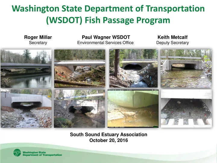
Washington State Department of Transportation (WSDOT) Fish Passage Program
South Sound Estuary Association October 20, 2016 Roger Millar
Secretary
Keith Metcalf
Deputy Secretary
Washington State Department of Transportation (WSDOT) Fish Passage - - PowerPoint PPT Presentation
Washington State Department of Transportation (WSDOT) Fish Passage Program Roger Millar Paul Wagner WSDOT Keith Metcalf Secretary Environmental Services Office Deputy Secretary South Sound Estuary Association October 20, 2016 Fish Passage
Paul Wagner WSDOT
Environmental Services Office
South Sound Estuary Association October 20, 2016 Roger Millar
Secretary
Keith Metcalf
Deputy Secretary
2
3
Kitsap Sun photo WDFW photo WDFW photo WDFW photo WDFW photo WDFW photo 4
WDFW photos
7
9
10
11
12
13
14
0.0 3.0 6.0 9.0 12.0 15.0 18.0 21.0 24.0 27.0 30.0 33.0 36.0 39.0 42.0 50 100 150 200 250 300 350 400 450 500 550 600 650 700 750 800 850 Potential Lineal Gain in Miles Number of Fish Passage Projects
Percent of Potential Habitat Opened by Fixing Barriers
10 % 20% 51 Projects 30% 40% 88 Projects 50% 60% 153 Projects 70% 80% 90%
16
BFW BFW 1.2BFW + 2 ft 1.2BFW + 2 ft
QBFW Q100
Bridge example Stream Simulation Culvert examples
18
Before After
New 20 ft wide structure 6 ft box with deficient fishway During 19
SR 99 Hylebos Creek -year one 2016
21
22
23
https://www.youtube.com/watch?v=nMixgoOOSoQ
24 October 2015 November 2015
26
Before – twin culverts are a velocity barrier After – stream flows through open culvert 27
29
30
construction duration
SR 3 Twanoh Creek under Construction
SR 104 Grovers Creek, 2016
SR 307 Gamble Creek 2016
SR 307 Dogfish Creek Before 2016
35
36
Comprehensive Fish Passage Inventory 1991-present
Fish Passage Inventory Database
Dedicated Fish Passage Barrier Removal Program
37
Before – 1.22 meter (4 ft) US 101 south of Aberdeen, WA After – 4.9 meter (16 ft) constructed in 2009 US 101- Mosquito Creek 38
Goldendale, WA Before – 3.2 meter (10.5 ft) US 97 - Butler Creek 39
After – 19.8 meter (65 ft) bridge constructed in 2012 40
SR 16 Anderson Creek