
SLIDE 1
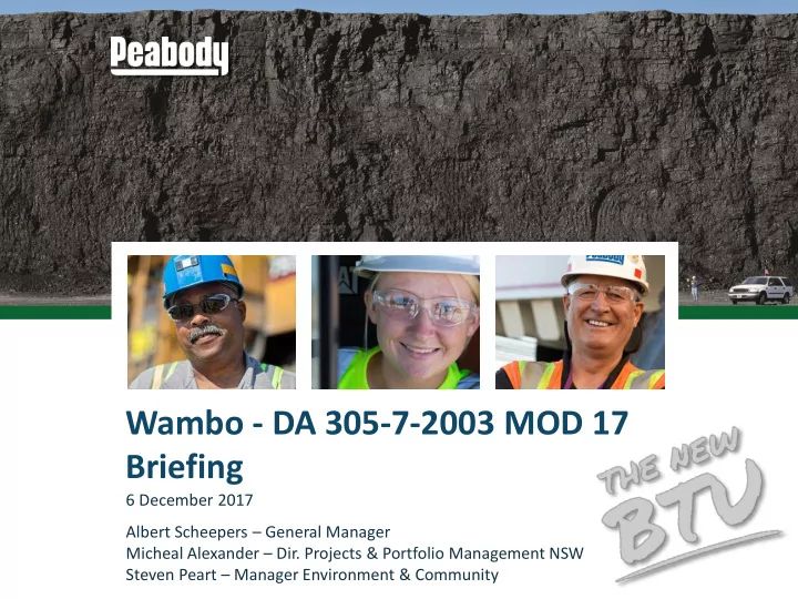
Wambo - DA 305-7-2003 MOD 17 Briefing
6 December 2017 Albert Scheepers – General Manager Micheal Alexander – Dir. Projects & Portfolio Management NSW Steven Peart – Manager Environment & Community
Wambo - DA 305-7-2003 MOD 17 Briefing 6 December 2017 Albert - - PowerPoint PPT Presentation
Wambo - DA 305-7-2003 MOD 17 Briefing 6 December 2017 Albert Scheepers General Manager Micheal Alexander Dir. Projects & Portfolio Management NSW Steven Peart Manager Environment & Community Agenda 1. Overview of MOD 17. 2.
6 December 2017 Albert Scheepers – General Manager Micheal Alexander – Dir. Projects & Portfolio Management NSW Steven Peart – Manager Environment & Community
2
3
4
the Whybrow Seam.
extensively mined at Wambo.
land.
cut and underground mining areas.
cut operations.
production rates or coal handling operations.
5
Extent of Conventional Subsidence Wollemi Escarpment
6
7
8
9
10
11
12
13