
SLIDE 1
1
Wabassi Project Defining a New Base and Precious Metal Camp, in the - - PowerPoint PPT Presentation
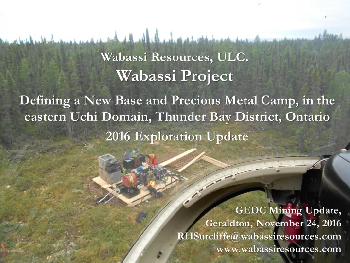
Wabassi Resources, ULC. Wabassi Project Defining a New Base and Precious Metal Camp, in the eastern Uchi Domain, Thunder Bay District, Ontario 2016 Exploration Update GEDC Mining Update, Geraldton, November 24, 2016
1
2
Wabassi Resources ULC is a private company incorporated in British Columbia. Certain statements in this presentation regarding estimates, forecasts or future events are “forward‐looking statements”. Such statements are based on the opinions and estimates of management as of the date these statements are made. The Company undertakes no
circumstances or management’s estimates or opinions should change. Wabassi Resources ULC has compiled the information from sources that are believed to be reliable, however, Wabassi Resources ULC makes no warranty as to the accuracy and reliability of the information presented herein.
Cover Photo: Helicopter approach to 16WA-50, August, 2016 Acknowledgements to Geologists Ian Dasti & Colin Bowdidge, & Kevin Ralph, Crone Geophysics for geological and geophysical interpretations
Geologist Ian Dasti with Wiskair Bell 206, Wabassi River , August 2016
3
Located in the Miminiska-Fort Hope Greenstone Belt, eastern Uchi Domain 415 km NE of Thunder Bay; 160 km north of Nakina; 120 km south of McFaulds Lake & “Ring of Fire”
4
5
6
Dorado Drilling, Hydracore 2000 Drill Rig, Wabassi E Deposit, August 2016
7
High-grade sphalerite mineralization DDH16WA-53 High-grade visible gold mineralization DDH16WA-54
8
A Zone Gold 4.2 m @ 9.90 g/t Au Tempest Zone 4.0m @ 4.4 g/t Au, 36.4 g.t Ag C Anomaly - 0.41% Cu, 0.20% Zn, untested EM target
Wabassi E VMS Deposit 1,040,500 t @ 4.21% Zn, 1.10% Cu, 29.8 g/t Ag; open
A Zone VMS - 49.5m @ 2.25%Zn, 0.18%Cu, 32 g/t Ag; VMS deposits form clusters
N Zone Gold 2.3m @ 167.8 g/t Au
9
(1) Mineral resources which are not mineral reserves do not have demonstrated economic viability. The estimate of mineral resources may be materially affected by environmental, permitting, legal, title, taxation, socio-political, marketing, or other relevant issues. (2)The quantity and grade of reported Inferred resources in this estimation are uncertain in nature and there has been insufficient exploration to define these Inferred resources as an Indicated or Measured mineral resource and it is uncertain if further exploration will result in upgrading them to an Indicated or Measured mineral resource category. (3)The mineral resources were estimated using the Canadian Institute of Mining, Metallurgy and Petroleum (CIM), CIM Standards on Mineral Resources and Reserves, Definitions and Guidelines.
(*) Not included in Initial Resource Estimate. Drilled after estimate.
10
Source: Galley et al. (2007)
11
12
Values up to 10 g/t Au
13
Maxwell Conductive Plate Models extend to depth of 800 m
Current 1.04 MT Inferred Resource drilled to approx. 350 m Geology and Crone Maxwell Plate Models support a 35o to 50o plunge to main zone massive sulphides
Long Section Looking NW
14
Ring of Fire proposed rail corridor
15
16
Mink Camp, October 2015