
SLIDE 1
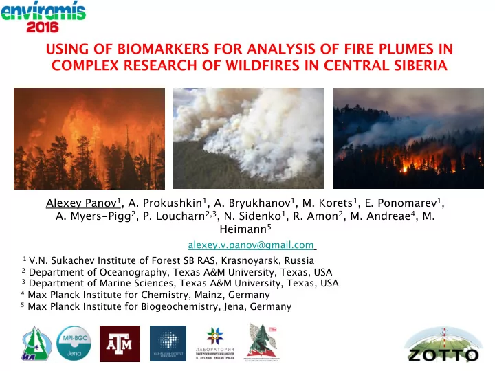
USING OF BIOMARKERS FOR ANALYSIS OF FIRE PLUMES IN COMPLEX RESEARCH OF WILDFIRES IN CENTRAL SIBERIA
1 V.N. Sukachev Institute of Forest SB RAS, Krasnoyarsk, Russia 2 Department of Oceanography, Texas A&M University, Texas, USA 3 Department of Marine Sciences, Texas A&M University, Texas, USA 4 Max Planck Institute for Chemistry, Mainz, Germany 5 Max Planck Institute for Biogeochemistry, Jena, Germany
alexey.v.panov@gmail.com
Alexey Panov1, A. Prokushkin1, A. Bryukhanov1, M. Korets1, E. Ponomarev1,
- A. Myers-Pigg2, P. Loucharn2,3, N. Sidenko1, R. Amon2, M. Andreae4, M.