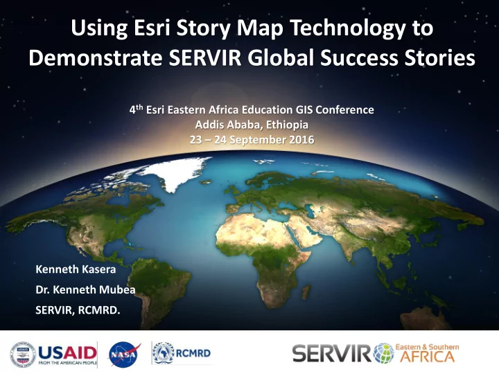
Using Esri Story Map Technology to Demonstrate SERVIR Global Success - - PowerPoint PPT Presentation

using esri story map technology to
SMART_READER_LITE
LIVE PREVIEW

Using Esri Story Map Technology to Demonstrate SERVIR Global Success - - PowerPoint PPT Presentation

Using Esri Story Map Technology to Demonstrate SERVIR Global Success Stories 4 th Esri Eastern Africa Education GIS Conference Addis Ababa, Ethiopia 23 24 September 2016 Kenneth Kasera Dr. Kenneth Mubea SERVIR, RCMRD. A Powerful


slide-1
SLIDE 1

Kenneth Kasera

  • Dr. Kenneth Mubea

SERVIR, RCMRD.

Using Esri Story Map Technology to Demonstrate SERVIR Global Success Stories

4th Esri Eastern Africa Education GIS Conference Addis Ababa, Ethiopia 23 – 24 September 2016

slide-2
SLIDE 2

Connecting space to village…

A Powerful Partnership

– Incredible satellite data – A mandate to work domestically

NASA has: USAID has:

– A presence in 100 countries – Connections to people who need information

NASA + USAID = the potential for significant impact in development decision-making

slide-3
SLIDE 3

Connecting space to village…

Promote sustainable development in the member States through generation, application and dissemination

  • f

geo-information and allied information and communications technologies, products and services.

SERVIR Eastern and Southern Africa

Agriculture Disasters Water Ecosystems & Landscapes SERVIR Hub since 2008

CLIMATE

slide-4
SLIDE 4

Connecting space to village…

1500 336 76 70 11

Widening Partnerships Stakeholders engaged Government/NGO institutions engaged Stakeholder events Datasets generated Climate tools developed

slide-5
SLIDE 5

Connecting space to village…

Capacity Building: Skills & Partnerships

slide-6
SLIDE 6

Connecting space to village…

Esri Story Map

  • Several easy to follow templates allow you to create

your own user experience

  • Examples:
  • Spy Glass

http://story.maps.arcgis.com/apps/StorytellingSwipe/index.html?appid=459ff1719f5f4271 80cd8b793894052b&webmap=7076dcc3049c44c68ef7afc36b754e87#

  • Crowd source https://storymaps.esri.com/stories/2016/national-

park-memories/index.html

  • Cascade

http://esrioceans.maps.arcgis.com/apps/Cascade/index.html?appid=70f95ebd47754b1a90 5459a14387e198

slide-7
SLIDE 7

Connecting space to village…

Esri’s 5 Tips for Effective Story Telling

1. Lure People In

  • An attractive first image and creative title

2. Connect with your audience

  • Who is it?
  • The public?
  • End users?
  • How to convey the message clearly

3. User experience Supports the Story

  • Choose the right template to display the data

4. Make sure the Maps are Easy-to-Read

  • Thinking about popups, legends, symbology, and basemaps carefully

5. Strive for Simplicity

  • Shorten text, simplify maps, have a clear message and theme
slide-8
SLIDE 8

Connecting space to village…

Important information to include

slide-9
SLIDE 9

Connecting space to village…

Resources

https://storymaps.arcgis.com/en/resources/

slide-10
SLIDE 10

Connecting space to village…

Examples

  • https://servirgit.maps.arcgis.com/apps/MapJournal/in

dex.html?appid=3b197f827c724b45a03c57e7efa7dfd d (Saving Species While Mitigating Climate Change)

  • http://servirgit.maps.arcgis.com/apps/MapJournal/in

dex.html?appid=13be19b88aca4d29b9be1e028bda0e 5b (Land Cover Mapping for the Development of Green House Gas Inventories in Namibia)

  • https://servirgit.maps.arcgis.com/apps/MapSeries/ind

ex.html?appid=7301ea1d1ac04f4db384735e174e7f23

slide-11
SLIDE 11

Connecting space to village…

Saving Species While Mitigating Climate Change

  • Investigating ideal locations for corridors connecting

protected lands based on areas of highest carbon densities

  • The results of a SERVIR Applied Sciences Team

project analysis completed by Scott Goetz (PI), Nadine Laporte, and Patrick Jantz Woods Hole Research Center

  • Pro tip: Interact with the story map by clicking on

underlined text!

slide-12
SLIDE 12

Connecting space to village…

Saving Species While Mitigating Climate Change

slide-13
SLIDE 13

Connecting space to village…

Land Cover Mapping for the Development of Green House Gas Inventories in Namibia

  • The goal was to generate LULC maps for six countries:

Botswana, Malawi, Namibia, Rwanda, Tanzania, and Zambia.

  • The map products were generated with an overall

accuracy of 89.29% for 2000, and an accuracy of 88.73% for 2010.

  • Link: Interact with the story map

The map products were generated with an overall accuracy of 89.29% for 2000, and an accuracy of 88.73% for 2010.

slide-14
SLIDE 14

Connecting space to village…

Land Cover Mapping for the Development of Green House Gas Inventories in Namibia

slide-15
SLIDE 15

Connecting space to village…

SERVIR Product Catalog

http://catalogue.servirglobal.net/

slide-16
SLIDE 16

Amaseganalo, thank you…

Contact us: Kenneth Kasera kasera@rcmrd.org (User Engagement)

Kenneth Mubea mubea@rcmrd.org (Capacity Development)

slide-17
SLIDE 17

Connecting space to village…

Saving Species While Mitigating Climate Change

slide-18
SLIDE 18

Connecting space to village…

Saving Species While Mitigating Climate Change

slide-19
SLIDE 19

Connecting space to village…

Saving Species While Mitigating Climate Change

slide-20
SLIDE 20

Connecting space to village…

Saving Species While Mitigating Climate Change

slide-21
SLIDE 21

Connecting space to village…

Saving Species While Mitigating Climate Change

slide-22
SLIDE 22

Connecting space to village…

Saving Species While Mitigating Climate Change

slide-23
SLIDE 23

Connecting space to village…

Saving Species While Mitigating Climate Change

slide-24
SLIDE 24

Connecting space to village…

Land Cover Mapping for the Development of Green House Gas Inventories in Namibia

slide-25
SLIDE 25

Connecting space to village…

Land Cover Mapping for the Development of Green House Gas Inventories in Namibia

slide-26
SLIDE 26

Connecting space to village…

Land Cover Mapping for the Development of Green House Gas Inventories in Namibia

slide-27
SLIDE 27

Connecting space to village…

Land Cover Mapping for the Development of Green House Gas Inventories in Namibia

slide-28
SLIDE 28

Connecting space to village…

Land Cover Mapping for the Development of Green House Gas Inventories in Namibia

slide-29
SLIDE 29

Connecting space to village…

Land Cover Mapping for the Development of Green House Gas Inventories in Namibia

slide-30
SLIDE 30

Connecting space to village…

Land Cover Mapping for the Development of Green House Gas Inventories in Namibia