
SLIDE 1
Use of conven*onal and remote sensed data in numerical weather predic*on Adrian M Tompkins, ICTP Tompkins@ictp.it
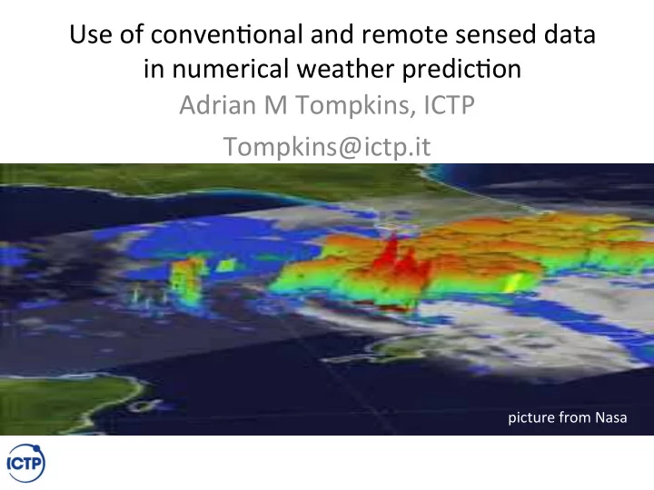
picture from Nasa
Use of conven*onal and remote sensed data in numerical weather - - PowerPoint PPT Presentation
Use of conven*onal and remote sensed data in numerical weather predic*on Adrian M Tompkins, ICTP Tompkins@ictp.it picture from Nasa Climate impacts on society Climate impacts are mul*faceted and can occur over many *mescales Severe
picture from Nasa
– Vector borne diseases – Heat stress – parasites – Food security
levels may be sampled)
point temperature
(op*onal)
Which of these are used to ini*ate weather forecasts?
When and when are the observations the most dense and why?
When and when are the observations the most dense and why?
Pilot balloon soundings
RS41 Vaisala
departure too large
Linear model
06Z analysis
12Z analysis Window is now shifted with respect to analysis times
Data sources change over time... gridded product at 75km resolution (Operational analysis is 8km)
uncertainty
TABLE 2. DATA DENIAL EXPERIMENTS Experiment Data denied Region 1 Radiosonde, pilot and aircraft Local 2 Radiosonde, pilot and aircraft Global 3 Satellite Local 4 Surface SYNOP and drift sondes Local 5 All wind information Local ‘Local’ implies the region 0 to 30◦N and from 30◦W to 60◦E.
Example: Data denial experiments conducted over West Africa by Tompkins et al. 2003 QJRMS:
Default analysis All winds removed Sonde data removed 5 day forecast
local global
Conclusion: Sonde temperature informa*on more important for wind analysis than winds!
What is best?
From Dinku et al. 2018